Dam Neck in Virginia Beach, Virginia — The American South (Mid-Atlantic)
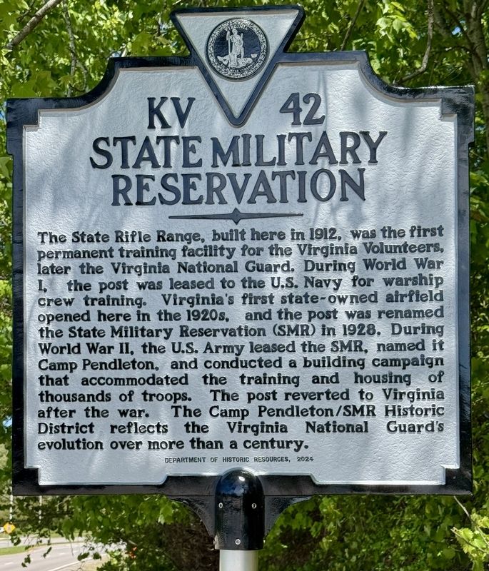
State Military Reservation
Photographed by Brandon D Cross
1. State Military Reservation Marker
Erected 2024 by Department of Historic Resources. (Marker Number KV-42.)
Topics. This historical marker is listed in these topic lists: Military • War, World I • War, World II. A significant historical year for this entry is 1912.
Location. 36° 49.259′ N, 75° 58.921′ W. Marker is in Virginia Beach, Virginia. It is in Dam Neck. It is on General Booth Boulevard 0.2 miles south of Headquarters Road, on the left when traveling
this page online

Regionally, this marker is in Hampton Roads, specifically in Coastal Virginia, and in the Hampton Roads Metropolitan Area. It is also in the American South, specifically in the Upper South, in the Tidewater, and on the Eastern Seaboard. Globally, it is in the North Atlantic Region, North America, the Western Hemisphere, the Western World, and the Anglosphere. Historically, it finds itself in what was once the territory of the Mississippian Culture, one of the original Thirteen Colonies, one of the Confederate States of America, and the Antebellum South.
Other nearby markers. At least 8 other markers are within 2 miles of this marker, measured as the crow flies: JT Walk & Beach Party (approx. one mile away); Eastern Shore Chapel (approx. 1.4 miles away); de Witt Cottage (approx. 1.4 miles away); Early Libraries of Virginia Beach (approx. 1.4 miles away); The Flame of Hope
Photographed by Brandon D Cross
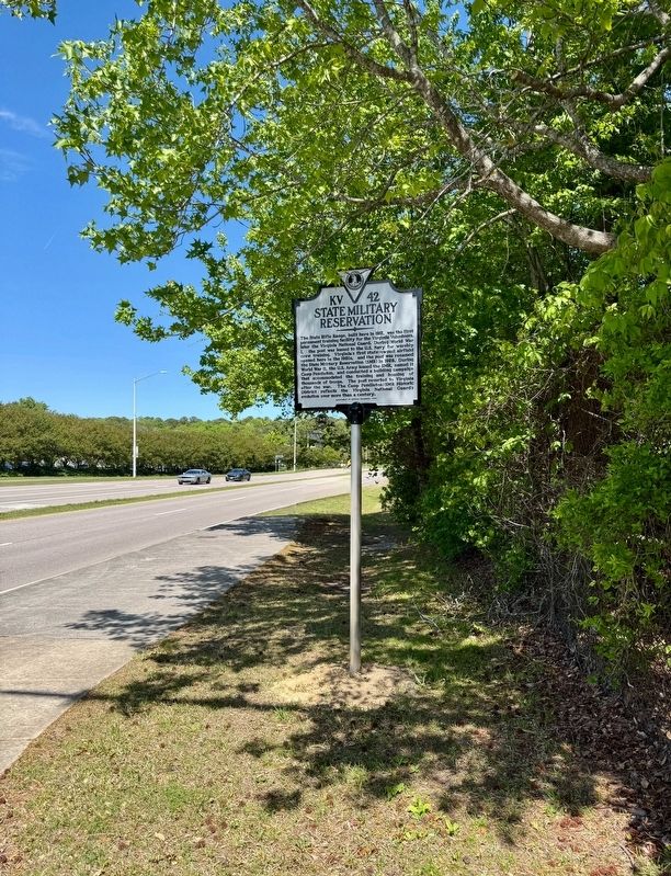
2. State Military Reservation Marker
Also see . . .
1. Historic highway marker honoring SMR unveiled in Virginia Beach. (Submitted on April 27, 2025, by Brandon D Cross of Flagler Beach, Florida.)
2. Camp Pendleton/State Military Reservation. (Submitted on April 27, 2025, by Brandon D Cross of Flagler Beach, Florida.)
3. Camp Pendleton. (Submitted on April 27, 2025, by Brandon D Cross of Flagler Beach, Florida.)
Credits. This page was last revised on April 28, 2025. It was originally submitted on April 27, 2025, by Brandon D Cross of Flagler Beach, Florida. This page has been viewed 388 times since then and 65 times this year. Photos: 1, 2. submitted on April 27, 2025, by Brandon D Cross of Flagler Beach, Florida. • Bernard Fisher was the editor who published this page.
