Lebanon in Laclede County, Missouri — The American Midwest (Upper Plains)
History of Lebanon African American United Service Organization (U.S.O.) Club
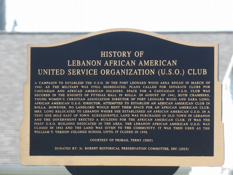
Photographed by Duane and Tracy Marsteller, April 6, 2025
1. History of Lebanon African American United Service Organization (U.S.O.) Club Marker
Courtesy of Primas, Terry (2005)
Donated by: St. Robert Historical Preservation
this page online
Erected 2023 by St. Robert Historical Preservation Committee, Inc.
Topics. This historical marker is listed in these topic lists: African Americans • Entertainment • Fraternal or Sororal Organizations • War, World II. A significant historical month for this entry is March 1941.
Location. 37° 41.5′ N, 92° 39.647′ W. Marker is in Lebanon, Missouri, in Laclede County. It is on Main Street east of Green Street, on the right when traveling east. Touch for map. Marker is at or near this postal address: 750 Main St, Lebanon MO 65536, United States of America. Touch for directions.

Regionally, this marker is in South-Central Missouri. It is also in the American Ozarks, in the Lewis & Clark Corridor, and in the Corn Belt. Globally, it is in North America, the Western Hemisphere, the Western World, and the Anglosphere. Historically, it finds itself in what was once the territory of the Mississippian Culture, the Louisiana Purchase, and the Antebellum South.
Other nearby markers. At least 8 other markers are within one mile of this marker, measured as the crow flies: Lebanon (approx. 0.6 miles away);
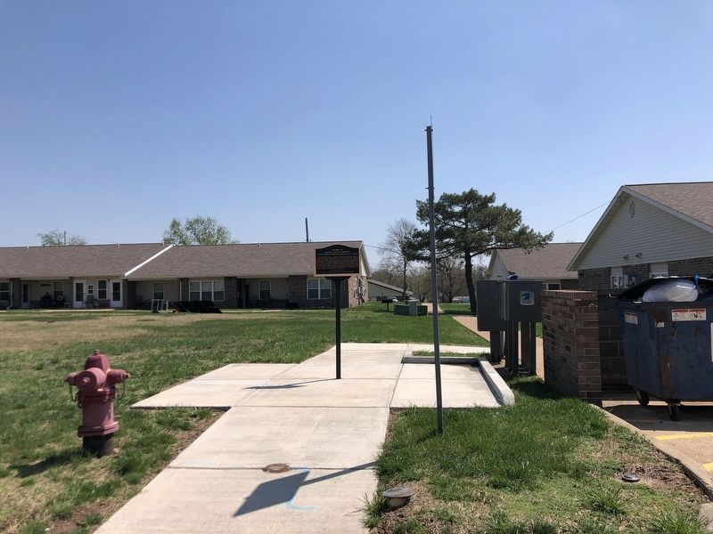
Photographed by Duane and Tracy Marsteller, April 7, 2025
2. History of Lebanon African American United Service Organization (U.S.O.) Club Marker
More about this marker. The inscription was taken from a 2005 newsletter article written by Pulaski County historian Terry Primas.
Also see . . . Uso. The USO sign was a beacon of comfort for John and Marilyn Roberts during the Korean War. It beckoned before and continues to signal support for men and women in service to their country. (Terry Primas, “Old Settlers Gazette” newsletter, Old Stagecoach Stop Foundation, 2005) (Submitted on April 28, 2025.)

U.S. Army Engineer School History Office, Fort Leonard Wood; from “Old Settlers Gazette” (2005)(Public Domain), February 1, 1942
3. African American USO Club in Lebanon
The new club building shortly after it was completed.
Credits. This page was last revised on April 28, 2025. It was originally submitted on April 28, 2025, by Duane and Tracy Marsteller of Murfreesboro, Tennessee. This page has been viewed 165 times since then and 30 times this year. Photos: 1, 2, 3. submitted on April 28, 2025, by Duane and Tracy Marsteller of Murfreesboro, Tennessee.
