Suffolk, Virginia — The American South (Mid-Atlantic)
Belleville Community
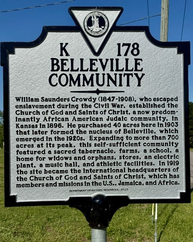
Photographed by Brandon D Cross
1. Belleville Community Marker
Erected 2023 by Department of Historic Resources. (Marker Number K-178.)
Topics. This historical marker is listed in these topic lists: African Americans • Notable Places • Religion & Religious Structures. A significant historical year for this entry is 1903.
Location. 36° 51.8′ N, 76° 26.298′ W. Marker is in Suffolk, Virginia. It is on Judah Lane north of Townpoint Road (Virginia Route 658), on the right when traveling
this page online

Regionally, this marker is in Virginia’s Hampton Roads, specifically in Coastal Virginia, and in the Hampton Roads Metropolitan Area. It is also in the American South, specifically in the Upper South, in the Tidewater, and on the Eastern Seaboard. Globally, it is in the North Atlantic Region, North America, the Western Hemisphere, the Western World, and the Anglosphere. Historically, it finds itself in what was once the territory of the Mississippian Culture, one of the original Thirteen Colonies, one of the Confederate States of America, and the Antebellum South.
Other nearby markers. At least 8 other markers are within 5 miles of this marker, measured as the crow flies: Huntersville Rosenwald School (approx. 1.1 miles away); City of Portsmouth (approx. 2.2 miles away); John Smith Explores the Chesapeake (approx. 2.7 miles away); The Battle of Craney Island (approx. 3.1 miles away); a different marker also named Florence Graded School (approx. 4 miles away); Glebe Church
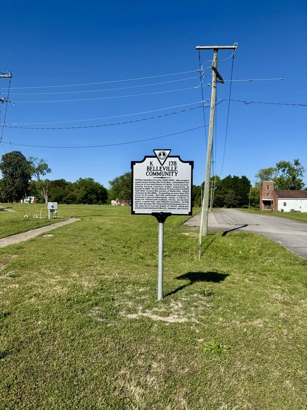
Photographed by Brandon D Cross
2. Belleville Community Marker
Another marker is no longer nearby. Florence Graded School (was approx. 4 miles away but has been replaced with another marker now near it).
Also see . . .
1. State Historical Marker Unveiled for Suffolk Community Founded by Formerly Enslaved Man. (Submitted on April 28, 2025, by Brandon D Cross of Flagler Beach, Florida.)
2. Historical marker honors former enslaved man who founded Sulfolk community. (Submitted on April 28, 2025, by Brandon D Cross of Flagler Beach, Florida.)
Credits. This page was last revised on November 24, 2025. It was originally submitted on April 28, 2025, by Brandon D Cross of Flagler Beach, Florida. This page has been viewed 237 times since then and 57 times this year. Photos: 1, 2. submitted on April 28, 2025, by Brandon D Cross of Flagler Beach, Florida. • J. J. Prats was the editor who published this page.
