Near Baker in White Pine County, Nevada — The American Mountains (Southwest)
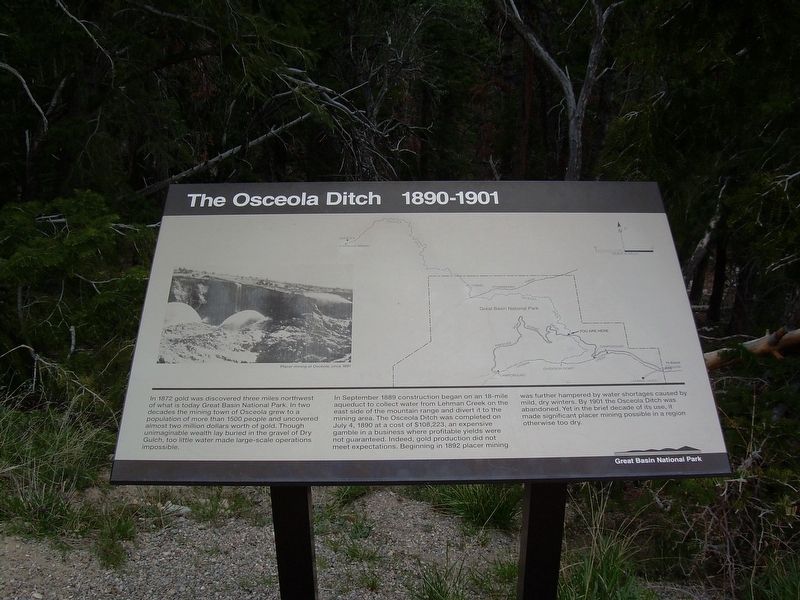
The Osceola Ditch 1890-1901
Great Basin National Park
Photographed by Doreen Thomson
1. The Osceola Ditch 1890-1901 Marker
In 1872 gold was discovered three miles northwest of what is today Great Basin National Park. In two decades the mining town of Osceola grew to a population of more than 1500 people and uncovered almost two million dollars work of gold. Though unimaginable wealth lay buried in the gravel of Dry Gulch, too little water made large-scale operations impossible.
In September 1889 construction began on an 18-mile aqueduct to collect water from Lehman Creek on the east side of the mountain range and divert it to the mining area. The Osceola Ditch was completed on July 5, 1890 at a cost of $108,223, an expensive gamble in a business where profitable yields were not guaranteed. Indeed, gold production did not meet expectations. Beginning in 1892 placer mining was further hampered by water shortages caused by mild, dry winters. By 1901 the Osceola Ditch was abandoned. Yet in the brief decade of its use, it made significant placer mining possible in a region otherwise too dry.
Erected by National Park Service, U.S. Department of the Interior.
Topics. This historical marker is listed in these topic lists: Exploration
this page online
Location. 39° 1.708′ N, 114° 15.999′ W. Marker is near Baker, Nevada, in White Pine County. It can be reached from Wheeler Peak Scenic Drive, on the right when traveling west. The marker stands at the Osceola Ditch Trailhead parking in Great Basin National Park. Touch for map. Marker is in this post office area: Baker NV 89311, United States of America. Touch for directions.

Regionally, this marker is in Central Nevada and in Elko Country. It is also in the American Mountain West. Globally, it is in North America, the Western Hemisphere, the Western World, and the Anglosphere. Historically, it finds itself in what was once New Spain and also Mexico’s Alta California.
Other nearby markers. At least 2 other markers are within 11 miles of this marker, measured as the crow flies: Stephen Tyng Mather (approx. 0.7 miles away); Osceola (approx. 10.3 miles away).
Photographed by Doreen Thomson, May 7, 2012
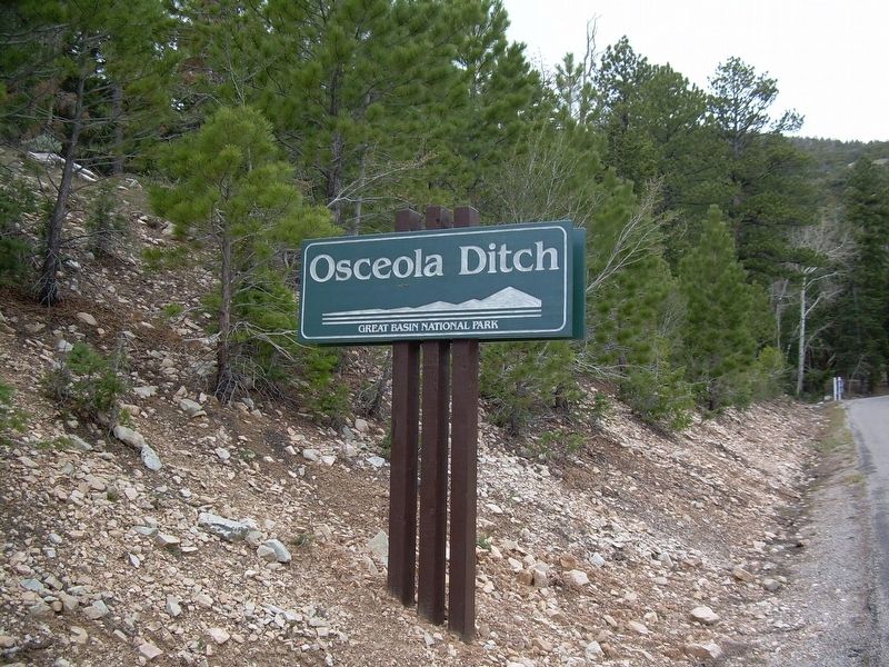
2. The Osceola Ditch 1890-1901 Roadside Marker
Credits. This page was last revised on May 15, 2025. It was originally submitted on April 29, 2025, by Doreen Thomson of Calgary, Alberta Canada. This page has been viewed 200 times since then and 39 times this year. Photos: 1, 2. submitted on April 29, 2025, by Doreen Thomson of Calgary, Alberta Canada. • Devry Becker Jones was the editor who published this page.
