Big Cypress in Sunniland in Collier County, Florida — The American South (South Atlantic)
Sunniland Oil Field
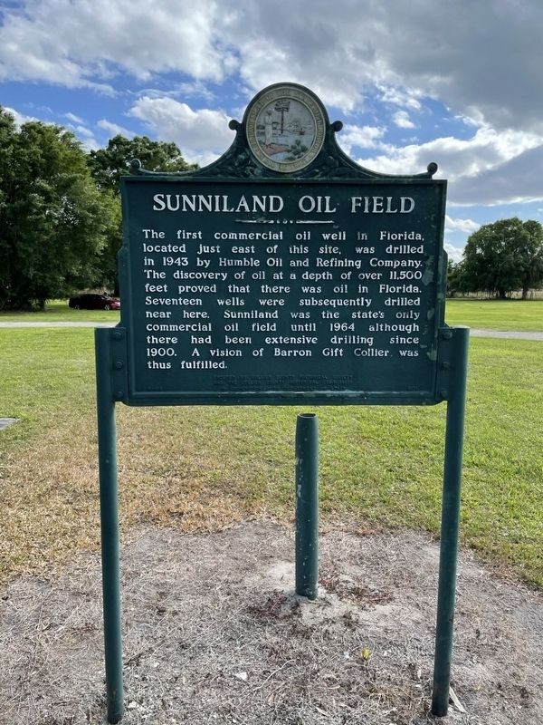
Photographed by Declan M Martin, February 21, 2021
1. Sunniland Oil Field Marker
Erected by Collier County Historical Society.
Topics. This historical marker is listed in these topic lists: Exploration • Industry & Commerce • Natural Resources. A significant historical year for this entry is 1943.
Location. 26° 16.936′ N, 81° 20.594′ W. Marker is in Sunniland, Florida, in Collier County. It is in Big Cypress. It can be reached from the intersection of Oil Well Park Road and Florida Route 29, on the left when traveling west. Touch for map. Marker is at or near this postal address: 7671 FL-29, Immokalee FL 34142, United States of America. Touch for directions.

Regionally, this marker is on Florida’s Gulf Coast. It is also in the American South
this page online
Other nearby markers. At least 8 other markers are within 11 miles of this marker, measured as the crow flies: Chicken Coop (approx. 11 miles away); Outhouse (approx. 11 miles away); Cook’s House (approx. 11 miles away); Water Tower (approx. 11 miles away); Smokehouse (approx. 11 miles away); Wash Shed (approx. 11 miles away); Cattle Ranching and Immokalee (approx. 11 miles away); Roberts Family Home (approx. 11 miles away).
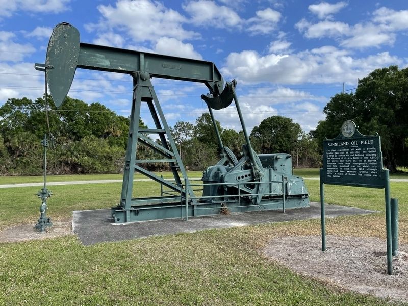
Photographed by Declan M Martin, February 21, 2021
2. Sunniland Oil Field Marker
Credits. This page was last revised on June 29, 2025. It was originally submitted on April 30, 2025, by Declan M Martin of Omaha, Nebraska. This page has been viewed 442 times since then and 128 times this year. Photos: 1, 2. submitted on April 30, 2025, by Declan M Martin of Omaha, Nebraska. • Bernard Fisher was the editor who published this page.
