Middle Township in Stone Harbor in Cape May County, New Jersey — The American Northeast (Mid-Atlantic)
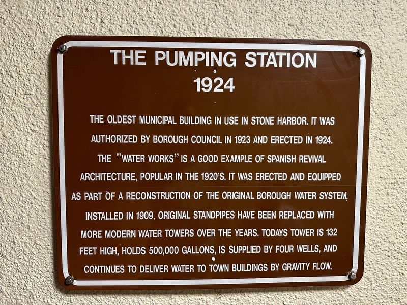
The Pumping Station
1924
Photographed by Pete Skillman, July 11, 2024
1. The Pumping Station Marker
The oldest municipal building in use in Stone Harbor it was authorized by Borough Council in 1923 and erected in 1924. The “Water Works” is a good example of Spanish Revival architecture, popular in the 1920’s. It was erected and equipped as part of a reconstruction of the original borough water system, installed in 1909. Original standpipes have been replaced with more modern water towers over the years. Today's tower is 132 feet high, holds 500,000 gallons, is supplied by four wells, and continues to deliver water to town buildings by gravity flow.
Topics. This historical marker is listed in these topic lists: Architecture • Charity & Public Work. A significant historical year for this entry is 1924.
Location. 39° 3.236′ N, 74° 45.517′ W. Marker is in Stone Harbor, New Jersey, in Cape May County. It is in Middle Township. It is on 2nd Avenue, on the right when traveling south. Touch for map. Marker is at or near this postal address: 9501 2nd Ave, Stone Harbor NJ 08247, United States of America. Touch for directions.

Regionally, this marker is on New Jersey’s Jersey Shore. It is also in the American Northeast,
this page online
Other nearby markers. At least 8 other markers are within walking distance of this marker: A different marker also named The Pumping Station (a few steps from this marker); Freedom Park (about 400 feet away, measured in a direct line); First Airmail Delivery in New Jersey (approx. 0.2 miles away); Rufwud (approx. 0.3 miles away); Our History (approx. 0.7 miles away); Native Plant Pollinator Garden (approx. ¾ mile away); Building a Conservation Ethic Across the Ages (approx. 0.9 miles away); Welcome to Holly Path at Stone Harbor Bird Sanctuary (approx. 0.9 miles away). Touch for a list and map of all markers in Stone Harbor.
Another marker is no longer nearby. Salt Marshes (was approx. 0.9 miles away but has been permanently removed).
Also see . . . Harlan’s History No. 81 A PICTORIAL REVIEW: THE MUNICIPAL WATER TOWERS & PUMP HOUSES AT STONE HARBOR.
Photographed by Pete Skillman, July 11, 2024
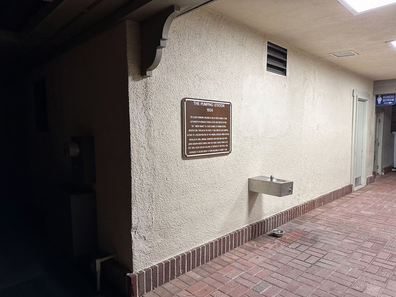
2. The Pumping Station Marker - wide view
Credits. This page was last revised on April 30, 2025. It was originally submitted on April 30, 2025, by Pete Skillman of Wilmington, Delaware. This page has been viewed 106 times since then and 17 times this year. Photos: 1, 2. submitted on April 30, 2025, by Pete Skillman of Wilmington, Delaware.
