Richland Township near Bannock in Belmont County, Ohio — The American Midwest (Great Lakes)
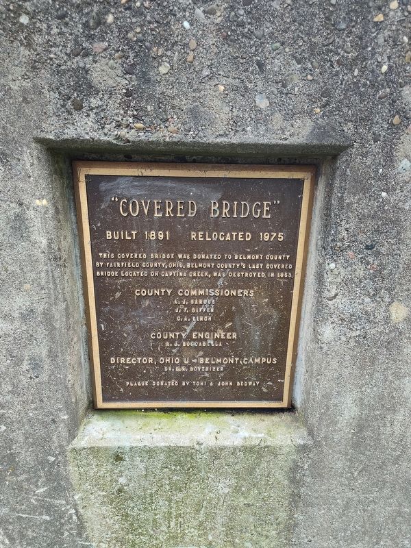
"Covered Bridge"
Photographed by Craig Doda, April 26, 2025
1. "Covered Bridge" Marker
Relocated 1975
This covered bridge was donated to Belmont County by Fairfield County, Ohio. Belmont County's last covered bridge located on Captina Creek, was destroyed in 1953.
County Commissioners
Aj Sargus • J. F. Giffen • C. A. Linch
County Engineer
R. J. Boggabella
Director, Ohio U - Belmont Campus
Dr. Er Bovenizer
Erected by Toni & John Bedway.
Topics and series. This historical marker is listed in this topic list: Bridges & Viaducts. In addition, it is included in the Covered Bridges series list. A significant historical year for this entry is 1891.
Location. 40° 4.48′ N, 80° 58.236′ W. Marker is near Bannock, Ohio, in Belmont County. It is in Richland Township. It is on Covered Bridge Road (County Route 1518) one mile west of Bannock-Uniontown Road (County Route 331), on the right when traveling east. Touch for map. Marker is at or near this postal address: 68300 Township Road 1518, Saint Clairsville OH 43950, United States of America. Touch for directions.

Regionally, this marker is in Ohio’s High Valley. It is also in the American Midwest, in Appalachia, and specifically in Northern
this page online
Other nearby markers. At least 8 other markers are within 3 miles of this marker, measured as the crow flies: Great Western School (approx. 0.6 miles away); Brick Tavern (approx. 0.6 miles away); Ohio Native Plants (approx. 2.2 miles away); Ohio Buckeye Tree (approx. 2.2 miles away); State of Ohio (approx. 2.2 miles away); a different marker also named Ohio Native Plants (approx. 2.2 miles away); a different marker also named Ohio Native Plants (approx. 2.2 miles away); a different marker also named Ohio Native Plants (approx. 2.3 miles away).
Photographed by Craig Doda, April 26, 2025
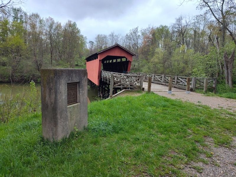
2. "Covered Bridge" Marker
Photographed by Craig Doda, April 26, 2025
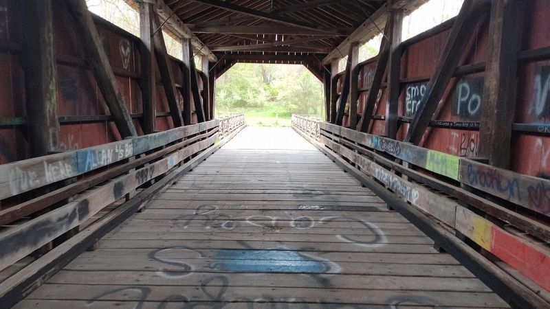
3. "Covered Bridge" interior
Credits. This page was last revised on May 2, 2025. It was originally submitted on April 30, 2025, by Craig Doda of Napoleon, Ohio. This page has been viewed 136 times since then and 21 times this year. Photos: 1, 2, 3. submitted on April 30, 2025, by Craig Doda of Napoleon, Ohio. • Andrew Ruppenstein was the editor who published this page.
