Dew in Freestone County, Texas — The American South (West South Central)
Dew Veterans Memorial

Photographed by James Hulse, April 30, 2025
1. Dew Veterans Memorial
Topics. This memorial is listed in this topic list: Military.
Location. 31° 35.628′ N, 96° 8.455′ W. Memorial is in Dew, Texas, in Freestone County. It is at the intersection of Farm to Market Road 489 and U.S. 75 on Road 489. The marker is located at the front of the Dew Cemetery. Touch for map. Memorial is at or near this postal address: 879 TX-75, Teague TX 75860, United States of America. Touch for directions.

Regionally, this memorial is in the Prairies & Lakes Region. It is also in the American South. Globally, it is in North America, a Gulf of Mexico state, the Western Hemisphere, the Western World, and the Anglosphere. Historically, it finds itself in what was once New Spain, the Republic of Texas, one of the Confederate States of America, and the Antebellum South.
Other nearby markers. At least 8 other markers are within 9 miles of this marker,
this page online
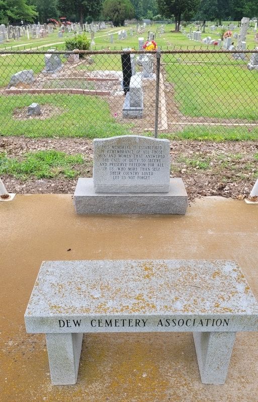
Photographed by James Hulse, April 30, 2025
2. Dew Veterans Memorial
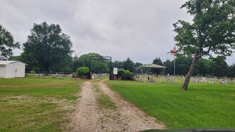
Photographed by James Hulse, April 30, 2025
3. The view of the entrance to the Dew Cemetery
Credits. This page was last revised on April 30, 2025. It was originally submitted on April 30, 2025, by James Hulse of Medina, Texas. This page has been viewed 132 times since then and 11 times this year. Photos: 1, 2, 3. submitted on April 30, 2025, by James Hulse of Medina, Texas.
