Southwest Oklahoma City in Oklahoma County, Oklahoma — The American South (West South Central)
Jim D. Scott
Airport Trustee
Oklahoma City Airport Trust from 1989 to 2006
| — | Oklahoma City Aviation Leadership Citation | — |
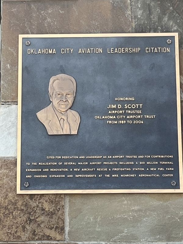
Photographed by Thomas Smith, April 13, 2025
1. Jim D. Scott Marker
Topics. This historical marker is listed in these topic lists: Air & Space • Industry & Commerce.
Location. 35° 23.752′ N, 97° 35.778′ W. Marker is in Oklahoma City, Oklahoma, in Oklahoma County. It is in Southwest Oklahoma City. It is on Terminal Drive south of Amelia Earhart Lane. OKC Will Rogers International Airport. Touch for map. Marker is at or near this postal address: 7100 Terminal Dr, Oklahoma City OK 73159, United States of America. Touch for directions.

Regionally, this marker is in Central Oklahoma—Frontier Country. It is also in the American South, specifically on the prairies, and on the Southern Plains. Globally, it is in North America, the Western Hemisphere, the Western World, and the Anglosphere. Historically,
this page online
Other nearby markers. At least 8 other markers are within 6 miles of this marker, measured as the crow flies: Ralph M. Ball (a few steps from this marker); Stanley C. Draper (within shouting distance of this marker); Philip J. Rhoads (approx. half a mile away); Stockyards City (approx. 4½ miles away); a different marker also named Stockyards City (approx. 4.6 miles away); Lion's Head from Terminal Building and Arcade (approx. 5½ miles away); Gristmill Bed Stone (approx. 5½ miles away); Charles Gasham Jones (approx. 5½ miles away). Touch for a list and map of all markers in Oklahoma City.
Credits. This page was last revised on May 15, 2025. It was originally submitted on May 1, 2025, by Thomas Smith of Waterloo, Ill. This page has been viewed 85 times since then and 19 times this year. Photo 1. submitted on May 1, 2025, by Thomas Smith of Waterloo, Ill. • Devry Becker Jones was the editor who published this page.
