Richards Landing in Algoma District, Ontario — Central Canada (North America)
Site of John Richards' Homestead
Photographed by Cosmos Mariner, June 10, 2024
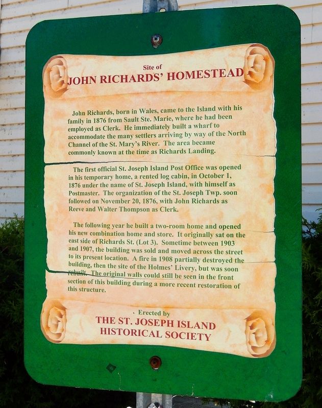
1. Site of John Richards' Homestead Marker
John Richards, born in Wales, came to the Island with his family in 1876 from Sault Ste. Marie, where he had been employed as Clerk. He immediately built a wharf to accommodate the many settlers arriving by way of the North Channel of the St. Mary's River. The area became commonly known at the time as Richards Landing.
The first official St. Joseph Island Post Office was opened in his temporary home, a rented log cabin, in October 1, 1876 under the name of St. Joseph Island, with himself as Postmaster. The organization of the St. Joseph Twp. soon followed on November 20, 1876, with John Richards as Reeve and Walter Thompson as Clerk.
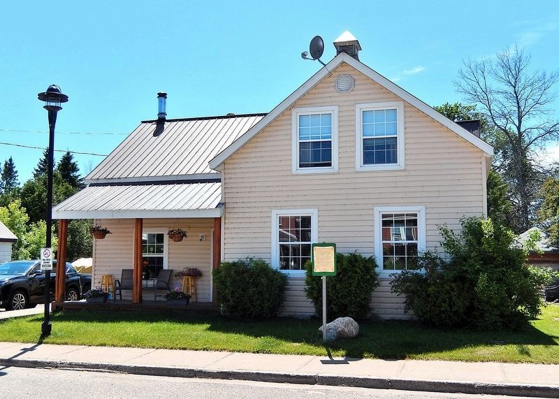
The following year he built a two-room home and opened his new combination home and store. It originally sat on the east side of Richards St. (Lot 3). Sometime between 1903 and 1907, the building was sold and moved across the street to its present location. A fire in 1908 partially destroyed the building, then the site of the Holmes' Livery, but was soon rebuilt. The original walls could still be seen in the front section of this building during a more recent restoration of this structure.
Erected by St.
this page online
Topics. This historical marker is listed in these topic lists: Industry & Commerce • Settlements & Settlers. A significant historical date for this entry is October 1, 1876.
Location. 46° 17.599′ N, 84° 2.149′ W. Marker is in Richards Landing, Ontario, in Algoma District. It is on Richards Street just north of Russell Street (Ontario Route 548), on the left when traveling north. Touch for map. Marker is at or near this postal address: 1183 Richards Street, Richards Landing ON P0R 1J0, Canada. Touch for directions.

Regionally, this marker is in the Sault Ste. Marie and Algoma Area and in Northern Ontario. It is also in Central Canada. Globally, it is in North America, in the Great North Woods, on the Great Lakes, on Lake Superior’s North Shore, in the Western Hemisphere, in the Western World, and in the Anglosphere. Historically, it finds itself in what was once a British colony, the Viceroyalty of New France, the Haudenosaunee (Iroquois) Confederacy, and Rupert’s Land.
Other nearby markers. At least 7 other markers are within 23 kilometers of this marker, measured as the crow flies:
Photographed by Cosmos Mariner, June 10, 2024
2. Site of John Richards' Homestead Marker
Looking west from Richards Street.
Also see . . . Richards Landing, St. Joseph, Ontario (Wikipedia).
Excerpt: St. Joseph is a township in the Canadian province of Ontario, the largest of four municipalities on St. Joseph Island. It had a population of 1,240 in the Canada 2016 Census. The township's main population centre is Richards Landing. Highway 548 leads through the centre of the town and is its main thoroughfare. "The Landing" is St. Joseph Island's business centre, offering a grocery store, liquor/beer store, gift shops and galleries, restaurants, accommodation, marina/boat re-fuelling, 24-hour Emergency Department/hospital, medical centre, pharmacy and physiotherapy (physical therapy) clinic, bank, parks, public swimming, beach and tennis courts, variety store and movie rentals.(Submitted on May 5, 2025, by Cosmos Mariner of Cape Canaveral, Florida.)
Credits. This page was last revised on May 5, 2025. It was originally submitted on May 3, 2025, by Cosmos Mariner of Cape Canaveral, Florida. This page has been viewed 202 times since then and 42 times this year. Photos: 1, 2. submitted on May 5, 2025, by Cosmos Mariner of Cape Canaveral, Florida.
