Kingsville in Harford County, Maryland — The American Northeast (Mid-Atlantic)
Jericho Covered Bridge
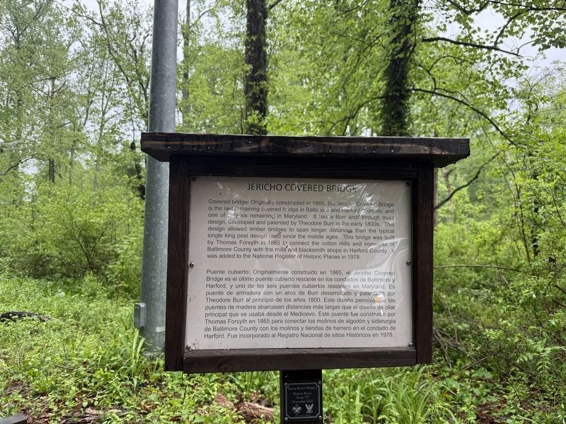

Covered bridge: Originally constructed in 1865, the Jericho Covered Bridge is the last remaining covered bridge in Baltimore and Harford counties, and one of only six remaining in Maryland. It has a Burr Arch through truss design, developed and patented by Theodore Burr in the early 1800s. This design allowed timber Bridges to span longer distances than the typical single king post design used since the middle ages. This bridge was built by Thomas Forsyth in 1865 to connect the cotton Mills and ironworks of Baltimore County with the mills and blacksmith shops in Harford County. It was added to the National Register of Historic Places in 1978.
this page online
Erected 2022 by Braxton Rivers Troop, Boy Scouts of America.
Topics and series. This historical marker is listed in these topic lists: Bridges & Viaducts • Industry & Commerce. In addition, it is included in the Covered Bridges series list. A significant historical year for this entry is 1865.
Location. 39° 27.618′ N, 76° 23.263′ W. Marker is in Kingsville, Maryland, in Harford County. It is on Jericho Road south of Jerusalem Road, on the right when traveling south. Touch for map. Marker is at or near this postal address: 12228 Jericho Rd, Kingsville MD 21087, United States of America. Touch for directions.

Regionally, this marker is in the Baltimore Metro Region and in Central Maryland. It is also in the American Mid-Atlantic, in the Chesapeake Bay Region, and on the Eastern Seaboard. Globally, it is in the North Atlantic Region, North America, the Western Hemisphere,
Photographed by Devry Becker Jones (CC0), May 4, 2025
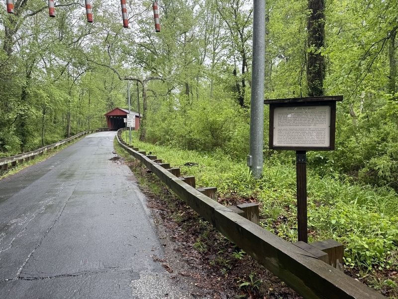
2. Jericho Covered Bridge Marker with the bridge visible in the background
Other nearby markers. At least 8 other markers are within walking distance of this marker: A different marker also named Jericho Covered Bridge (a few steps from this marker); Harry Gilmor's Raid (approx. 0.2 miles away); Mill Race Entry (approx. 0.2 miles away); Gunpowder Falls State Park (approx. 0.2 miles away); Site of the Upper Jericho Saw Mill (approx. ¼ mile away); Jerusalem Mills (approx. ¼ mile away); The Lime Kiln (approx. ¼ mile away); Milestone (approx. ¼ mile away). Touch for a list and map of all markers in Kingsville.
Another marker is no longer nearby. Harry Gilmor's Raid (was approx. 0.2 miles away but has been replaced with another marker now near it).
Credits. This page was last revised on January 12, 2026. It was originally submitted on May 4, 2025, by Devry Becker Jones of Washington, District of Columbia. This page has been viewed 161 times since then and 47 times this year. Photos: 1, 2. submitted on May 4, 2025, by Devry Becker Jones of Washington, District of Columbia.
