White Marsh in Baltimore County, Maryland — The American Northeast (Mid-Atlantic)
"Scholars Plains"
First free school in Baltimore County
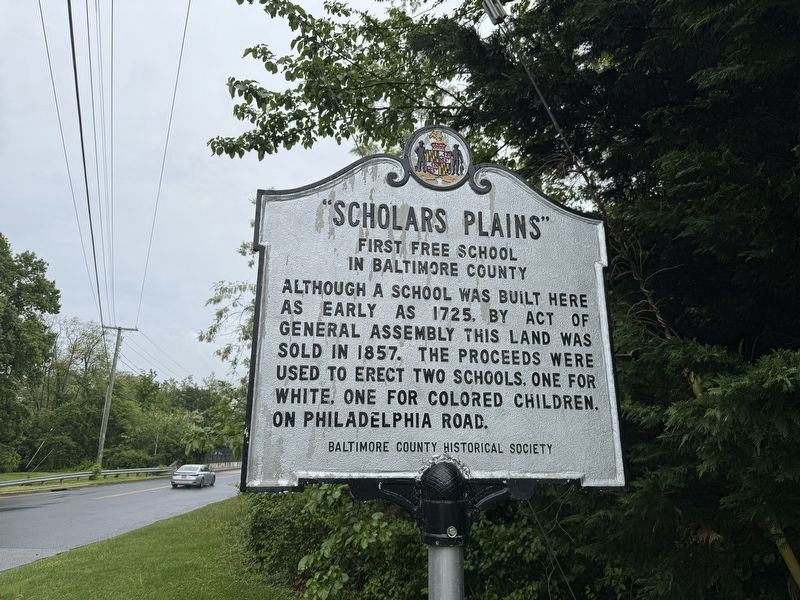
Erected by Baltimore County Historical Society.
Topics. This historical marker is listed in this topic list: Education. A significant historical year for this entry is 1725.
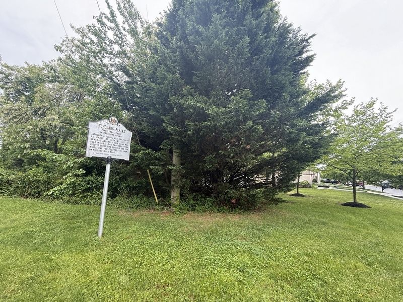
Location. 39° 24.09′ N, 76° 24.463′ W. Marker is in White Marsh, Maryland, in Baltimore County. It is at the intersection of Allender Road and Ridgedale Drive, on the right when traveling south on Allender Road. Touch for map. Marker is at or near this postal address: 5737 Allender Rd, White Marsh MD 21162, United States of America. Touch for directions.

Regionally, this marker is in the Baltimore Metro Region and in Central Maryland. It is also in the American Mid-Atlantic, in the Chesapeake Bay Region, and on the Eastern Seaboard. Globally, it is in the North Atlantic Region, North America, the Western Hemisphere, the Western World, and the Anglosphere. Historically, it finds itself in what was once one of the original Thirteen
this page online
Other nearby markers. At least 8 other markers are within 3 miles of this marker, measured as the crow flies: Union of Brothers and Sisters of Ford’s Asbury Lodge No. 1 (approx. 0.6 miles away); “Long Calm” (approx. 0.8 miles away); “Whitemarsh” (approx. 1.7 miles away); White Marsh War Memorial (approx. 1.8 miles away); Camp Chapel (approx. 2 miles away); Harry Dorsey Gough (approx. 2 miles away); Joppa Town (approx. 2.4 miles away); Rumsey Mansion (approx. 2.4 miles away). Touch for a list and map of all markers in White Marsh.
Credits. This page was last revised on May 4, 2025. It was originally submitted on May 4, 2025, by Devry Becker Jones of Washington, District of Columbia. This page has been viewed 256 times since then and 69 times this year. Photos: 1, 2. submitted on May 4, 2025, by Devry Becker Jones of Washington, District of Columbia.
