McKenzie in Carroll County, Tennessee — The American South (East South Central)
The Hamilton Building
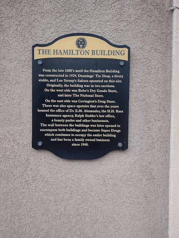
Photographed by David Austin, May 4, 2025
1. The Hamilton Building Marker
Topics. This historical marker is listed in this topic list: Industry & Commerce. A significant historical year for this entry is 1929.
Location. 36° 7.925′ N, 88° 31.079′ W. Marker is in McKenzie, Tennessee, in Carroll County. It is at the intersection of Cedar Street and Broadway St, on the right when traveling west on Cedar Street. Touch for map. Marker is at or near this postal address: 2340 Cedar St, Mc Kenzie
this page online

Regionally, this marker is in West Tennessee. It is also in the American South and specifically in the Upper South. Globally, it is in North America, the Western Hemisphere, the Western World, and the Anglosphere. Historically, it finds itself in what was once the territory of the Mississippian Culture, one of the Confederate States of America, and the Antebellum South.
Other nearby markers. At least 8 other markers are within 2 miles of this marker, measured as the crow flies: James Monroe McKenzie (a few steps from this marker); Confederate Assembly (within shouting distance of this marker); McKenzie's Station (about 300 feet away, measured in a direct line); The Arcade Saloon (about 400 feet away); The Original J.P. Cannon & Sons Drug Store (about 400 feet away); Bethel College (approx. 0.3 miles away); Harris-Collier-Holland Farm (approx. one mile away); Forrest's Raid (approx. 1.1 miles away). Touch for a list and map of all markers in McKenzie.
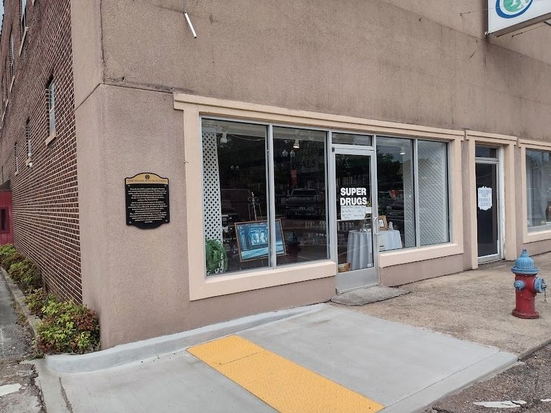
Photographed by David Austin, May 4, 2025
2. The Hamilton Building Marker
Credits. This page was last revised on May 5, 2025. It was originally submitted on May 4, 2025, by David Austin of Scotts Hill, Tennessee. This page has been viewed 263 times since then and 38 times this year. Photos: 1, 2. submitted on May 4, 2025, by David Austin of Scotts Hill, Tennessee. • James Hulse was the editor who published this page.
