Fort Howard in Edgemere in Baltimore County, Maryland — The American Northeast (Mid-Atlantic)
Battery Harris
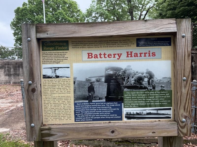
Battery Harris is a concrete gun emplacement that housed two rapid-fire five-inch rifled guns mounted on balanced pillar carriages. The battery was completed in 1900 and was named for Col. David Harris, the commander of an American artillery regiment during the British attack on Baltimore in 1814.
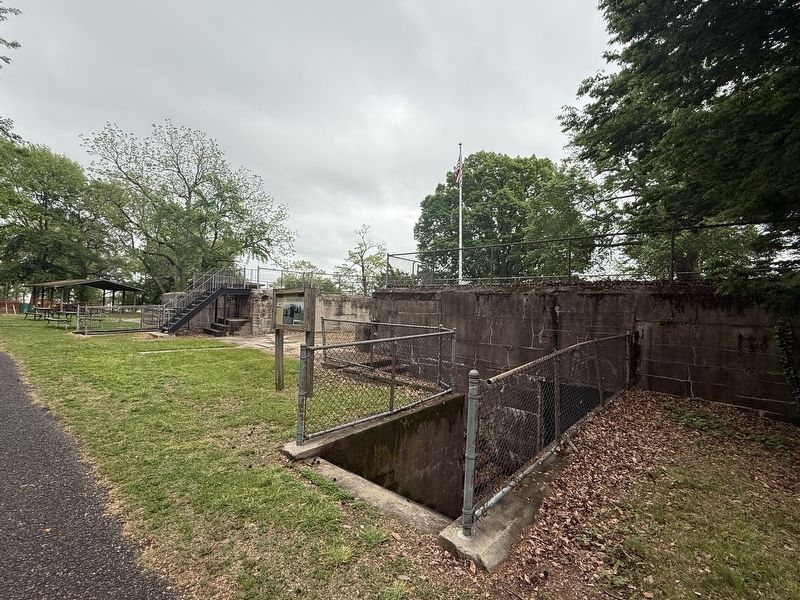
For the guns of a coast artillery fort to be effective, the gun crews had to know their distance from the enemy ships. Determining those distances was the responsibility of the soldiers manning the range finding stations. The concrete structure on the left side of Battery Harris was one of those stations. It housed a Coincidence Range Finder (CRF).
As you can see in the picture above, a CRF has a single eyepiece located in the center of the instrument. Images of the target enter the range finder through two windows located
this page online
[Captions:]
Each of Battery Harris' guns had an eighteen-foot barrel and weighed twenty-four tons. The image above shows members of a gun crew transporting ammunition from storage to the breech of the gun by hand. The eighty-pound rounds contained the projectile, propellant powder and a primer.
The pillar that the gun was mounted on could be cranked up above the parapet when firing and cranked down when inactive.
The rapid-fire five-inch guns of this battery and the three-inch guns of Batteries Lazear and Clagett were intended to engage and destroy fast torpedo boats (see the image below), mine sweepers and landing craft that could venture out of the shipping channel and into shallow water near the shore.
Erected by The Edgemere Sparrows Point
Topics. This historical marker is listed in these topic lists: Communications • Forts and Castles • Military. A significant historical year for this entry is 1900.
Location. 39° 11.785′ N, 76° 26.539′ W. Marker is in Edgemere, Maryland, in Baltimore County. It is in Fort Howard. It can be reached from Fort Howard Park Road west of Key Street, on the left when traveling west. Touch for map. Marker is at or near this postal address: Fort Howard Park Rd, Fort Howard MD 21052, United States of America. Touch for directions.

Regionally, this marker is in the Baltimore Metro Region and in Central Maryland. It is also in the American Mid-Atlantic, in the Chesapeake Bay Region, and on the Eastern Seaboard. Globally, it is in the North Atlantic Region, North America, the Western Hemisphere, the Western World, and the Anglosphere. Historically, it finds itself in what was once one of the original Thirteen Colonies and also the Antebellum South.
Other nearby markers. At least 8 other markers are within walking distance of this
Photographed by Evan Dwyer, March 7, 2026
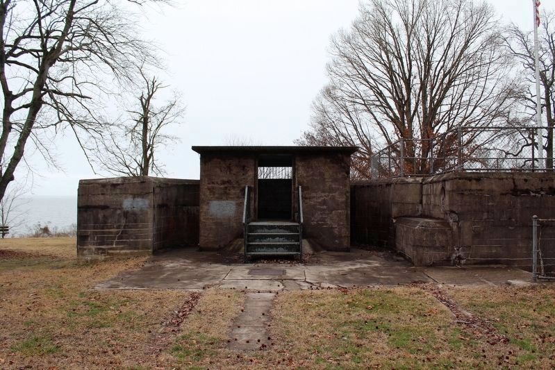
3. Coincidence Rangefinder Station
This is the modified half of the battery. The half-moon of the original gun position is evident encircling the rangefinder hut. The original gun mount would have been directly beneath where the hut now sits; compare to the next photograph.
Photographed by Evan Dwyer, March 7, 2026
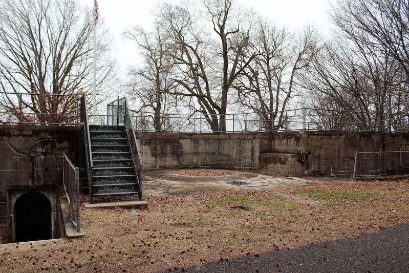
4. Battery Harris
This is the unmodified half of the battery. Originally both gun positions appeared this way. The circular center is where the pillar mount was installed. Compare this view to the gun position modified for the Rangefinder station in the previous photograph.
Credits. This page was last revised on March 24, 2026. It was originally submitted on May 4, 2025, by Devry Becker Jones of Washington, District of Columbia. This page has been viewed 120 times since then and 29 times this year. Photos: 1, 2. submitted on May 4, 2025, by Devry Becker Jones of Washington, District of Columbia. 3, 4. submitted on March 8, 2026, by Evan Dwyer of Richmond, Virginia.
