
Fort Howard in Edgemere in Baltimore County, Maryland — The American Northeast (Mid-Atlantic)
Duc Huc
A Vietnamese Village at Fort Howard!
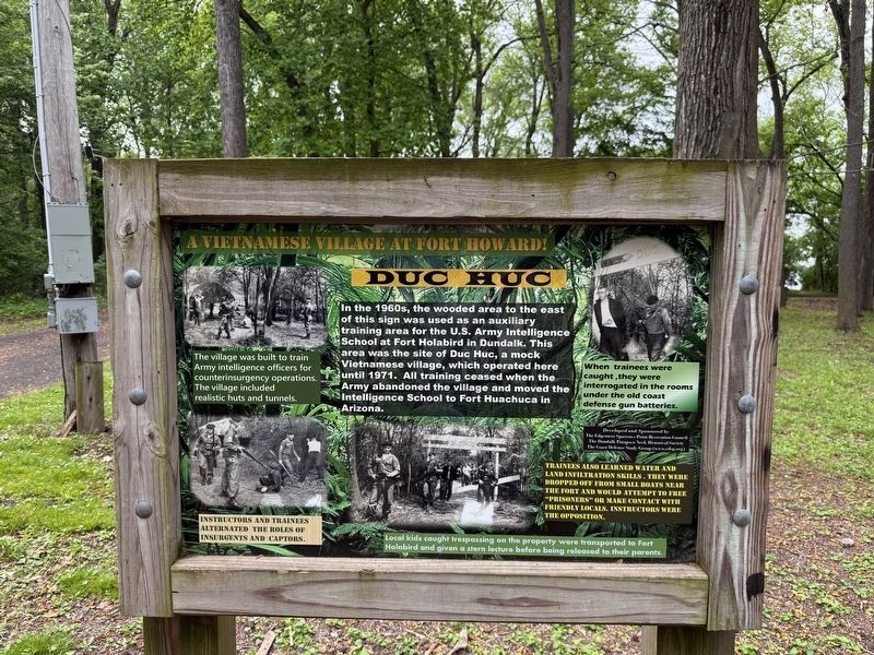
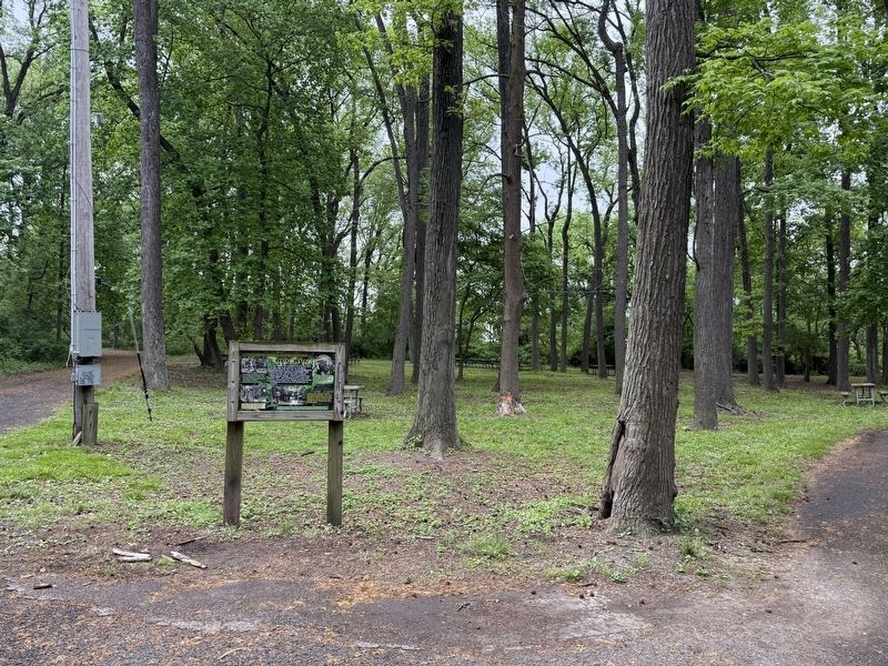
In the 1960s, the wooded area to the east of this sign was used as an auxiliary training area for the U.S. Army Intelligence School at Fort Hollabird in Dundalk. This area was the site of Duc Huc, a mock Vietnamese village, which operated here until 1971. All training ceased when the Army abandoned the village and moved the Intelligence School to Fort Huachuca in Arizona.
[Captions:]
The village was built to train Army intelligence officers for counterinsurgency operations. The village included realistic huts and tunnels.
Instructors and trainees alternated the roles of insurgents and captors.
When trainees were caught, they were interrogated in the rooms under the old coast defense gun batteries.
Trainees also learned water and land infiltration skills. They were dropped off from small boats near the fort and would attempt to free "prisoners" or make contact with friendly locals. Instructors were the opposition.
Local kids caught trespassing on the property were transported to Fort Holabird and given a stern lecture before being released to their parents.
Erected by The Edgemere Sparrows Point Recreation
this page online
Topics. This historical marker is listed in these topic lists: Education • Forts and Castles • War, Vietnam. A significant historical year for this entry is 1971.
Location. 39° 11.895′ N, 76° 26.479′ W. Marker is in Edgemere, Maryland, in Baltimore County. It is in Fort Howard. It can be reached from Patsco Street east of Fort Howard Park Road, on the left when traveling east. Touch for map. Marker is at or near this postal address: 9500 North Point Rd, Fort Howard MD 21052, United States of America. Touch for directions.

Regionally, this marker is in Central Maryland. It is also in the American Mid-Atlantic, in the Chesapeake Bay Region, and on the Eastern Seaboard. Globally, it is in the North Atlantic Region, North America, the Western Hemisphere, the Western World, and the Anglosphere. Historically, it finds itself in what was once one of the original Thirteen Colonies and also the Antebellum South.
Other nearby markers. At least 8 other markers are within walking distance of this marker: Harbor Defense: Controlled Mines and the Mine Casemate
Another marker is no longer nearby. Battery Clagett (was about 400 feet away but has been replaced with another marker now near it).
Credits. This page was last revised on May 5, 2025. It was originally submitted on May 5, 2025, by Devry Becker Jones of Washington, District of Columbia. This page has been viewed 161 times since then and 38 times this year. Photos: 1, 2. submitted on May 5, 2025, by Devry Becker Jones of Washington, District of Columbia.
