Myrtle Beach in Horry County, South Carolina — The American South (South Atlantic)
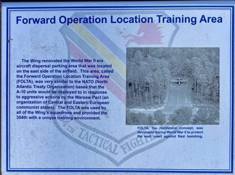
Forward Operation Location Training Area
| — | Warbird Park | — |
Photographed by Brandon D Cross
1. Forward Operation Location Training Area Marker
(caption)
FOLTA, the Hardstand concept, was developed during World War II to protect the east coast against Nazi bombing.
Topics. This memorial is listed in these topic lists: Air & Space • Military.
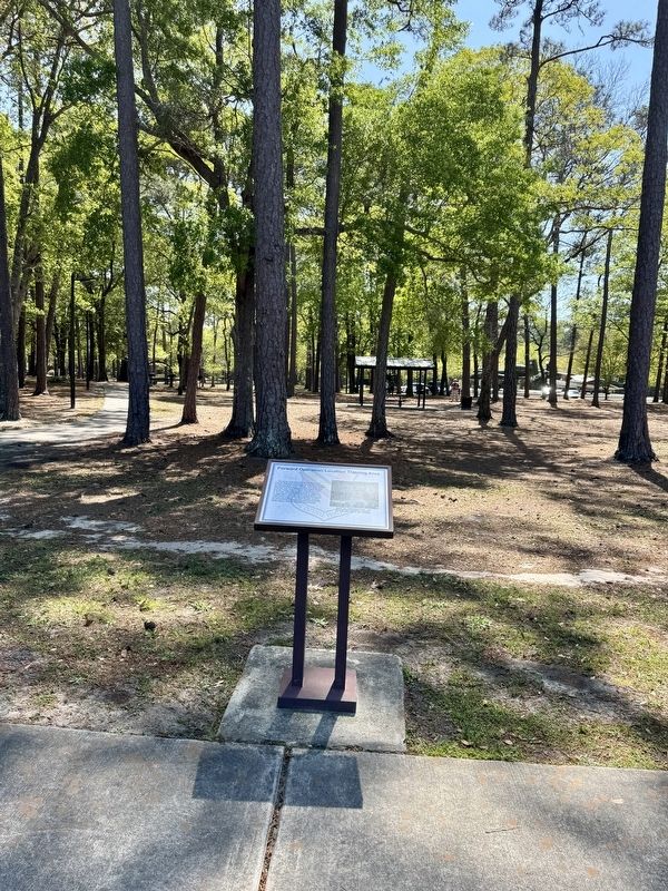
Location. 33° 39.716′ N, 78° 55.668′ W. Memorial is in Myrtle Beach, South Carolina, in Horry County. It can be reached from the intersection of Farrow Parkway and South Kings Highway, on the right when traveling north. The marker is located within Warbird Park adjacent to Myrtle Beach International Airport. Touch for map. Memorial is
this page online

Regionally, this memorial is on the Grand Strand and in the Pee Dee. It is also in the American South, specifically in the Deep South, and on the Eastern Seaboard. Globally, it is in the North Atlantic Region, North America, the Western Hemisphere, the Western World, and the Anglosphere. Historically, it finds itself in what was once the territory of the Mississippian Culture, one of the original Thirteen Colonies, one of the Confederate States of America, and the Antebellum South.
Other nearby markers. At least 8 other markers are within walking distance of this marker: Thunderhog (here, next to this marker); 1948 Myrtle Beach Airport (a few steps from this marker); A-7D Corsair (within shouting distance of this marker); F-100 D/F Super Sabre (within shouting distance of this marker); A-10 Thunderbolt II (within shouting distance of this marker); Military Officers Association of American Veterans Memorial (within shouting distance of this marker); Nuclear and Atomic Veterans (within shouting distance
Photographed by Brandon D Cross
2. Forward Operation Location Training Area Marker
Also see . . .
1. Training and Wartime Preparation at the Myrtle Beach Air Force Base. (Submitted on May 6, 2025, by Brandon D Cross of Flagler Beach, Florida.)
2. Warbird Park. (Submitted on May 6, 2025, by Brandon D Cross of Flagler Beach, Florida.)
Credits. This page was last revised on May 10, 2025. It was originally submitted on May 6, 2025, by Brandon D Cross of Flagler Beach, Florida. This page has been viewed 114 times since then and 15 times this year. Photos: 1, 2. submitted on May 6, 2025, by Brandon D Cross of Flagler Beach, Florida. • J. J. Prats was the editor who published this page.
