Stewards Mill in Freestone County, Texas — The American South (West South Central)
Harmony Church

Photographed by James Hulse, May 5, 2025
1. Harmony Church Marker
Erected 1965 by Texas Historical Commission. (Marker Number 9882.)
Topics. This historical marker is listed in this topic list: Religion & Religious Structures. A significant historical date for this entry is December 9, 1876.
Location. 31° 49.299′ N, 96° 12.216′ W. Marker is in Stewards Mill, Texas, in Freestone County. It is on Farm to Market Road 2547 0.1 miles south of Farm to Market Road
this page online

Regionally, this marker is in the Prairies & Lakes Region. It is also in the American South. Globally, it is in North America, a Gulf of Mexico state, the Western Hemisphere, the Western World, and the Anglosphere. Historically, it finds itself in what was once New Spain, the Republic of Texas, one of the Confederate States of America, and the Antebellum South.
Other nearby markers. At least 8 other markers are within 6 miles of this marker, measured as the crow flies: A different marker also named Harmony Church (here, next to this marker); Stewards Mill Store (about 400 feet away, measured in a direct line); Homesite and Burial Place of General Joseph Burton Johnson (approx. 3.2 miles away); Grange Hall Community (approx. 3.3 miles away); Bonner Cemetery (approx. 3.3 miles away); Lake Chapel Cemetery (approx. 4.1 miles away); Ward Prairie Baptist Church (approx. 5.4 miles away); Caney Baptist Church
Photographed by James Hulse, May 5, 2025
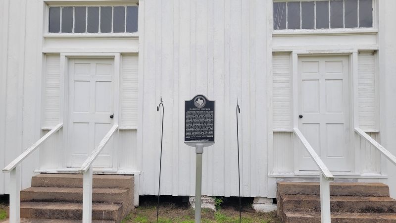
2. The entrance to the Harmony Church and Marker
More about this marker. There are two slightly different markers about the church at the entrance to the church
Photographed by James Hulse, May 5, 2025
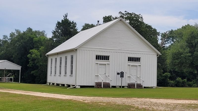
3. Harmony Church

Photographed by James Hulse, May 5, 2025
4. Inside view of the Harmony Church
Credits. This page was last revised on May 7, 2025. It was originally submitted on May 6, 2025, by James Hulse of Medina, Texas. This page has been viewed 142 times since then and 31 times this year. Photos: 1, 2, 3, 4. submitted on May 7, 2025, by James Hulse of Medina, Texas.
