Henrico in Henrico County, Virginia — The American South (Mid-Atlantic)
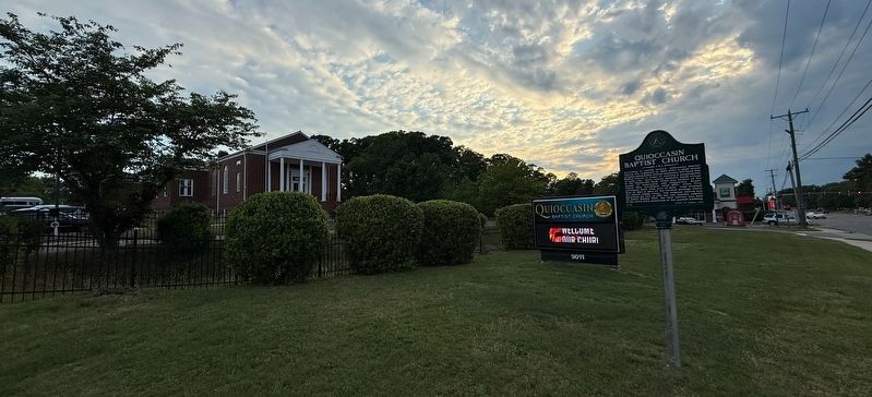
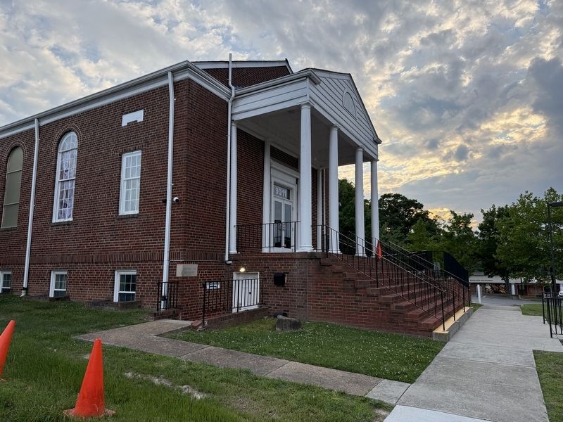
Quioccasin Baptist Church
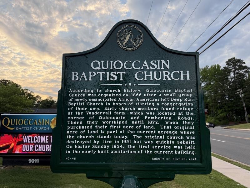
Erected 2021 by County of Henrico. (Marker Number HR-48.)
Topics. This historical marker is listed in these topic lists: African Americans • Religion & Religious Structures. A significant historical date for this entry is April 18, 1951.
Location. 37° 36.299′ N, 77° 34.251′ W. Marker is in Henrico, Virginia, in Henrico County. It is on Quioccasin Road east of Blue Jay Lane, on the right when traveling east. Touch for map. Marker is at or near this
this page online

Regionally, this marker is in Virginia’s Piedmont, in Central Virginia, and in the Richmond Metropolitan Area. It is also in the American South, specifically in the Upper South, and on the Eastern Seaboard. Globally, it is in the North Atlantic Region, North America, the Western Hemisphere, the Western World, and the Anglosphere. Historically, it finds itself in what was once the territory of the Mississippian Culture, one of the original Thirteen Colonies, one of the Confederate States of America, and the Antebellum South.
Other nearby markers. At least 8 other markers are within 2 miles of this marker, measured as the crow flies: Quioccasin, Westwood and Pryor Cemeteries (approx. 0.2 miles away); Tommy Edwards (approx. half a mile away); Ridge Baptist Church UDC Memorial (approx. 0.6 miles away); Westhampton Settlement Subdivision (approx. 1.1 miles away); Old Coal Pit Railroad Bed (approx. 1.6 miles away); Ziontown Community (approx. 1.7 miles away); Boston (approx. 1.9 miles away); Skipwith Academy (approx.
Credits. This page was last revised on July 24, 2025. It was originally submitted on May 8, 2025, by Devry Becker Jones of Washington, District of Columbia. This page has been viewed 267 times since then and 50 times this year. Photos: 1, 2, 3. submitted on May 8, 2025, by Devry Becker Jones of Washington, District of Columbia.
