Webb City in Jasper County, Missouri — The American Midwest (Upper Plains)
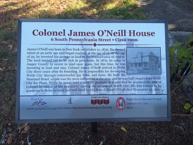
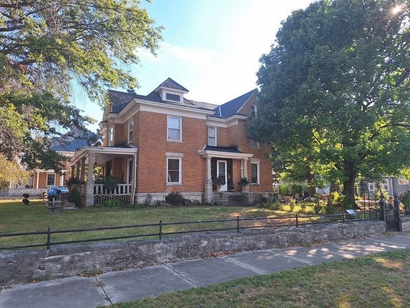
Colonel James O'Neill House
6 South Pennsylvania Street • Circa 1900
Photographed by Jason Voigt, September 19, 2026
1. Colonel James O'Neill House Marker
James O'Neill was born in New York on October 31, 1836. He showed talent at an early age and began working at the age of 12. At the age of 29, he invested his savings in land in the Pennsylvania oil region. The land turned out to be rich in petroleum. In 1879, he came to Jasper County to invest in land once again, but this time, he was investing in lead and zinc. Colonel James O'Neill arrived in Webb City three years after its founding. He is responsible for developing Webb City through waterworks, gas lines, and more. He built the Newland Hotel, which was the most influential in the area, and he was half owner of the Webb City Ice Plant. While he never held a military position, it is said that he acquired the title of Colonel by virtue of his popularity among the citizens of Webb City. He was known to be generous to those in need and well liked by children. Colonel O'Neill died November 23, 1907.
Erected 2024 by Graham McCaw • Webb City Area Genealogical Society • Webb City Library • Webb City.
Topics. This historical marker is listed in this topic list: Industry & Commerce. A significant historical date for this entry is October 31, 1836.
Location. 37° 8.763′ N,
this page online

Regionally, this marker is in Southwest Missouri. It is also in the American Lewis & Clark Corridor and in the Corn Belt. Globally, it is in North America, the Western Hemisphere, the Western World, and the Anglosphere. Historically, it finds itself in what was once the territory of the Mississippian Culture, the Louisiana Purchase, and the Antebellum South.
Other nearby markers. At least 8 other markers are within walking distance of this marker: William Patten House (within shouting distance of this marker); Wood/Dolence Home (within shouting distance of this marker); George Bruen House (within shouting distance of this marker); Goldstein/Toutz Home (about 300 feet away, measured in a direct line); Joseph C. Stewart Home (about 400 feet away);

Photographed by Duane and Tracy Marsteller
2. Colonel James O'Neill House Marker
Encyclopedia of the History of Missouri:, Howard Louis Conard; via Google Books (Public Domain), circa 1901
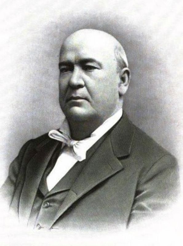
3. (Colonel) James O'Neill (1836-1907)
The son of Irish immigrants, he operated boats on the Erie Canal and ran a hotel as a youth in New York. He didn't arrive in Webb City until 1889.
Photographed by Jason Voigt, September 19, 2026
4. Colonel James O'Neill House Marker
Credits. This page was last revised on September 23, 2026. It was originally submitted on May 9, 2025, by Duane and Tracy Marsteller of Murfreesboro, Tennessee. This page has been viewed 181 times since then and 49 times this year. Photos: 1. submitted on September 23, 2026, by Jason Voigt of Glen Carbon, Illinois. 2, 3. submitted on May 9, 2025, by Duane and Tracy Marsteller of Murfreesboro, Tennessee. 4. submitted on September 23, 2026, by Jason Voigt of Glen Carbon, Illinois.
