Perryville in Decatur County, Tennessee — The American South (East South Central)
Perryville
First County Seat of Perry County

Photographed by David Austin
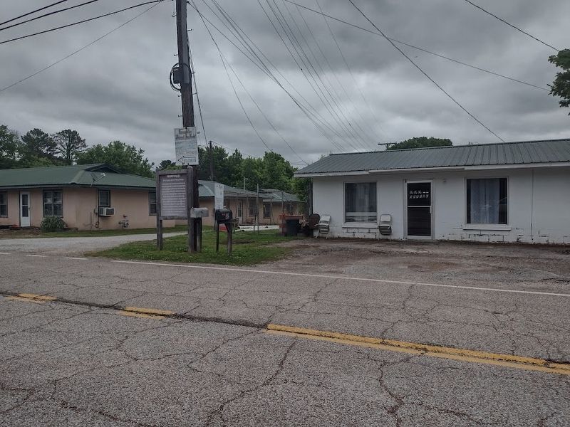
1. Perryville Marker
In November 1821 the Tennessee General Assembly passed Acts directing appointed Commissioners to locate an area to be the County Seat of the 1819-confirmed county of Perry. Thus, the legendary community of Midtown was selected to be laid off as a town to be called and known by the name of Perryville, reserving two acres chosen as the public square. The square was to include a courthouse, prison, and stocks. Perryville remained the Perry County seat until 1845 when it became part of Decatur County.
Topics. This historical marker is listed in this topic list: Settlements & Settlers. A significant historical year for this entry is 1819.
Location. 35° 37.223′ N, 88° 2.496′ W. Marker is in Perryville, Tennessee, in Decatur County. It is at the intersection of Perryville Rd and Reddix Rd, on the right when traveling north on Perryville Rd. Touch for map. Marker is at or near this postal address: 1249 Perryville Rd, Parsons TN 38363, United States of America. Touch for directions.

Regionally, this marker is in West Tennessee. It is also in the American South and specifically in the Upper South. Globally, it is in North America,
this page online
Other nearby markers. At least 8 other markers are within 5 miles of this marker, measured as the crow flies: Perryville First County Seat of Perry County (about 600 feet away, measured in a direct line); In Memoriam (approx. one mile away); Amphibious Attack on Linden (approx. 1.2 miles away); Tennessee River (approx. 2½ miles away); Divided Loyalties (approx. 4.8 miles away); Little David Wilkins (approx. 4.8 miles away); Site of Decatur County School Gymnasium (approx. 4.9 miles away); Revolutionary War Veterans Monument (approx. 5.1 miles away). Touch for a list and map of all markers in Perryville.
Photographed by David Austin, May 11, 2025
2. Perryville Marker
Credits. This page was last revised on September 14, 2026. It was originally submitted on May 11, 2025, by David Austin of Scotts Hill, Tennessee. This page has been viewed 218 times since then and 75 times this year. Photos: 1. submitted on September 13, 2026, by David Austin of Scotts Hill, Tennessee. 2. submitted on May 11, 2025, by David Austin of Scotts Hill, Tennessee. • James Hulse was the editor who published this page.
