Young Harris in Towns County, Georgia — The American South (South Atlantic)
The Georgia Lottery Corporation
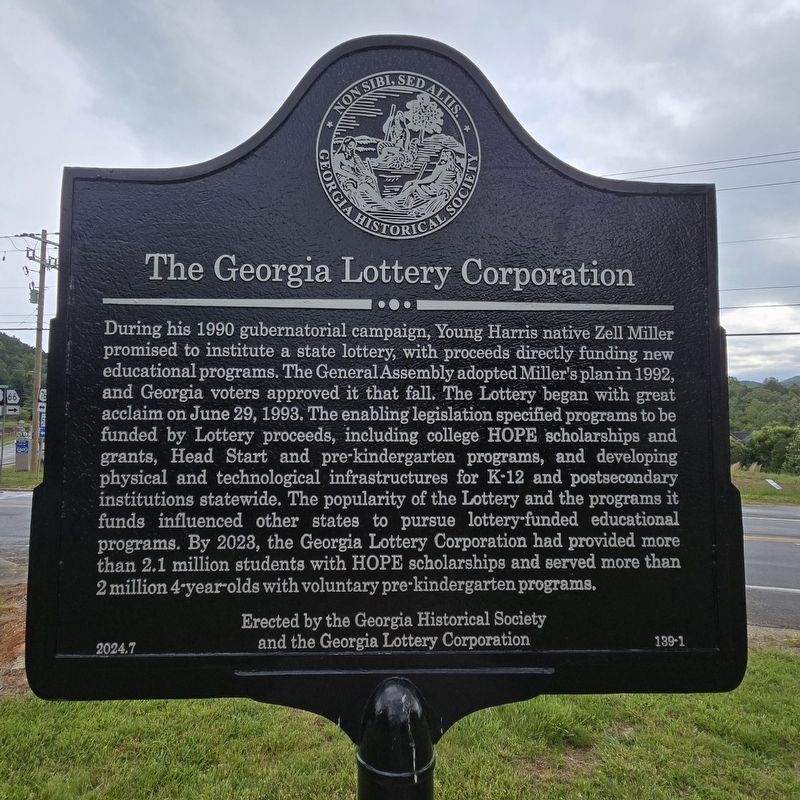
Photographed by Mark Parker, May 10, 2025
1. The Georgia Lottery Corporation Marker
During his 1990 gubernatorial campaign, Young Harris native Zell Miller promised to institute a state lottery, with proceeds directly funding new educational programs. The General Assembly adopted Miller's plan in 1992, and Georgia voters approved it that fall. The Lottery began with great acclaim on June 29, 1993. The enabling legislation specified programs to be funded by Lottery proceeds, including college HOPE scholarships and grants, Head Start and pre-kindergarten programs, and developing physical and technological infrastructures for K-12 and postsecondary institutions statewide. The popularity of the Lottery and the programs it funds influenced other states to pursue lottery-funded educational programs. By 2023, the Georgia Lottery Corporation had provided more than 2.1 million students with HOPE scholarships and served more than 2 million 4-year-olds with voluntary pre-kindergarten programs.
Erected 2024 by Georgia Historical Society and the Georgia Lottery Corporation. (Marker Number 139-1.)
Topics. This historical marker is listed in these topic lists: Charity & Public Work • Education. A significant historical date for this entry is June 29, 1993.
Location. 34° 56.066′ N,
this page online

Regionally, this marker is in the Mountains. It is also in the American South, specifically in the Deep South, in Appalachia, and specifically in Southern Appalachia. Globally, it is in North America, the Western Hemisphere, the Western World, and the Anglosphere. Historically, it finds itself in what was once the original Cherokee Nation, the territory of the Mississippian Culture, one of the original Thirteen Colonies, one of the Confederate States of America, and the Antebellum South.
Other nearby markers. At least 8 other markers are within 5 miles of this marker, measured as the crow flies: The First Classes of Young Harris College (a few steps from this marker); Track Rock Gap (approx. 3.9 miles away); Returning Fire to the Mountains (approx. 4.7 miles away); Designated Wilderness

Photographed by Mark Parker, May 10, 2025
2. The Georgia Lottery Corporation Marker at corner of Main and Murphy Streets
Other markers no longer nearby. Trackrock Gap (was approx. 2 miles away but has been confirmed missing); Brasstown Bald (was approx. 2 miles away but has been confirmed missing).
Credits. This page was last revised on May 20, 2025. It was originally submitted on May 12, 2025, by Mark Parker of Hickory, North Carolina. This page has been viewed 289 times since then and 176 times this year. Photos: 1, 2. submitted on May 12, 2025, by Mark Parker of Hickory, North Carolina. • Bernard Fisher was the editor who published this page.
