Maxton in Robeson County, North Carolina — The American South (South Atlantic)
Maxton Alma Railroad Bell

Photographed by Mark Parker, March 24, 2025
1. Maxton Alma Railroad Bell Marker
This bell was on the last engine operating on the Maxton Alma southbound railroad
Donated by C.A. “Gus” Hasty through John H. "Pete" Hast
Topics and series. This historical marker is listed in these topic lists: Communications • Railroads & Streetcars. In addition, it is included in the Historic Bells series list.
Location. 34° 44.363′ N, 79° 20.999′ W. Marker is in Maxton, North Carolina, in Robeson County. It is at the intersection of West Graham Street and North Florence Street, on the right when traveling east on West Graham Street. Touch for map. Marker is at or near this postal address: 200 W Graham Street, Maxton NC 28364, United States of America. Touch for directions.

Regionally, this marker is in the Coastal Plain. It is also in the American South and specifically in the Upper South. Globally, it is in North America, the Western Hemisphere, the Western World, and the Anglosphere. Historically, it finds itself in what was once the territory of the Mississippian Culture, one of the original Thirteen Colonies, one of the Confederate States of
this page online
Other nearby markers. At least 8 other markers are within 4 miles of this marker, measured as the crow flies: Maxton War Memorial (within shouting distance of this marker); Town of Shoe Heel / Carolina Methodist College (approx. 0.2 miles away); Carolina College (approx. 0.3 miles away); Laurinburg-Maxton Army Air Base (approx. 1.2 miles away); “Battle of Hayes Pond” (approx. 1.2 miles away); Angus W. McLean (approx. 3.3 miles away); Floral College (approx. 3.3 miles away); Stewart-Hawley-Malloy House (approx. 3.8 miles away). Touch for a list and map of all markers in Maxton.
Another marker is no longer nearby. Stewartsville Cemetery (was approx. 3.1 miles away but has been permanently removed).
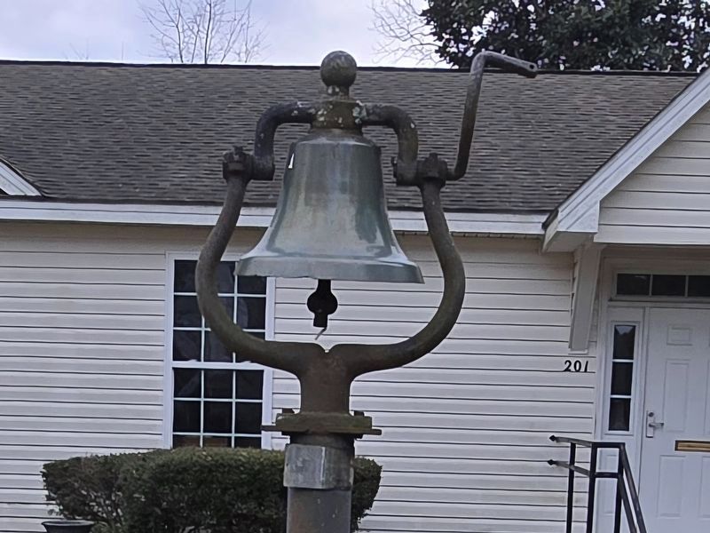
Photographed by Mark Parker, March 24, 2025
2. Maxton Alma Railroad Bell and Marker
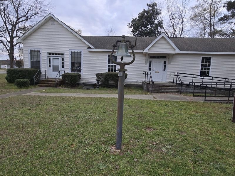
Photographed by Mark Parker, March 24, 2025
3. Maxton Alma Railroad Bell and Marker
Credits. This page was last revised on May 13, 2025. It was originally submitted on April 18, 2025, by Mark Parker of Hickory, North Carolina. This page has been viewed 162 times since then and 36 times this year. Last updated on May 13, 2025, by Mark Parker of Hickory, North Carolina. Photos: 1, 2, 3. submitted on April 18, 2025, by Mark Parker of Hickory, North Carolina. • Devry Becker Jones was the editor who published this page.
