Chichester in West Sussex, England, United Kingdom — Northwestern Europe (the British Isles)
The Guildhall
Photographed by Ray Gurganus, April 4, 2025
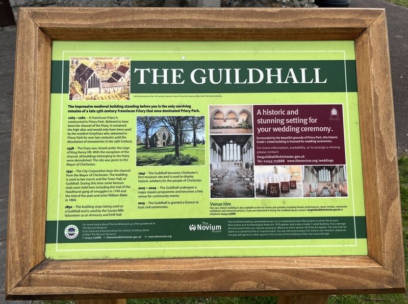
1. The Guildhall Marker
1369-1383 - A Franciscan Friary is constructed in Priory Park. Believed to have been the chancel of the friary, it contained the high altar and would only have been used by the resident Greyfriars who remained in Priory Park for over two centuries until the dissolution of monasteries in the 16th Century.
1538 - The friary was closed under the reign of King Henry VIII. With the exception of the chancel, all buildings belonging to the friary were demolished. The site was given to the Mayor of Chichester.
1544 - The City Corporation buys the chancel from the Mayor of Chichester. The building is used as law courts and the Town Hall, or Guildhall. During this time some famous trials were held here including the trial of the Hawkhurst gang of smugglers in 1749 and the trial of the poet and artist William Blake in 1804.
1850 - The building stops being used as a Guildhall and is used by the Sussex Rifle Volunteers as an Armoury and Drill Hall.
1947-The Guildhall
this page online
2007-2009 -The Guildhall undergoes a major repairs programme and becomes a hire venue for community events.
2015-The Guildhall is granted a licence to host civil ceremonies.
Erected by Chichester District Council.
Topics. This historical marker is listed in this topic list: Religion & Religious Structures.
Location. 50° 50.352′ N, 0° 46.609′ W. Marker is in Chichester, England, in West Sussex. It is on Priory Road. Touch for map. Marker is at or near this postal address: 17 Priory Rd, Chichester, England PO19 1NS, United Kingdom. Touch for directions.

Regionally, this marker is in the Greater South East. Globally, it is on the Atlantic Ocean, in the North Atlantic Region, in Europe, in Atlantic Europe, on one of the British Isles, in the Western World, and in the Anglosphere. Historically, it finds itself in what was once the Roman Empire.
Other nearby markers. At least 8 other markers are within walking distance of this marker: Priory Park Orchard
Photographed by Ray Gurganus, April 4, 2025
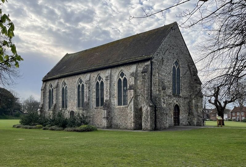
2. The Guildhall and Marker
Credits. This page was last revised on May 27, 2025. It was originally submitted on May 13, 2025, by Ray Gurganus of Washington, District of Columbia. This page has been viewed 87 times since then and 12 times this year. Photos: 1, 2. submitted on May 13, 2025, by Ray Gurganus of Washington, District of Columbia. • Bill Pfingsten was the editor who published this page.
