Marker Logo
THE HISTORICAL
MARKER DATABASE
“Bite-Size Bits of Local, National, and Global History”
Mooretown in Lambton County, Ontario — Central Canada (North America)
 

St. Clair Township’s Family Tree

St. George’s Square Commemorative Park
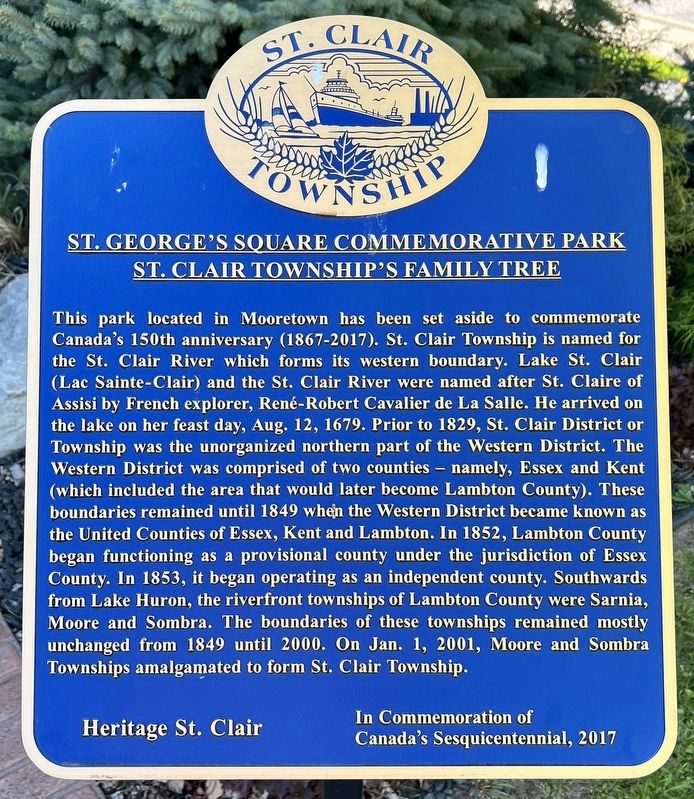
 
 
St. Clair Township’s Family Tree Marker image. Click for full size.
Photographed by Tim Boyd, May 11, 2025
1. St. Clair Township’s Family Tree Marker
Inscription. This park located in Mooretown has been set aside to commemorate Canada's 150th anniversary (1867-2017). St. Clair Township is named for the St. Clair River which forms its western boundary. Lake St. Clair (Lac Sainte-Clair) and the St. Clair River were named after St. Claire of Assisi by French explorer, René-Robert Cavalier de La Salle. He arrived on the lake on her feast day, Aug. 12, 1679. Prior to 1829, St. Clair District or Township was the unorganized northern part of the Western District. The Western District was comprised of two counties - namely, Essex and Kent (which included the area that would later become Lambton County). These boundaries remained until 1849 when the Western District became known as the United Counties of Essex, Kent and Lambton. In 1852, Lambton County began functioning as a provisional county under the jurisdiction of Essex County. In 1853, it began operating as an independent county. Southwards from Lake Huron, the riverfront townships of Lambton County were Sarnia, Moore and Sombra. The boundaries of these townships remained mostly unchanged from 1849 until 2000. On Jan. 1, 2001, Moore
Paid Advertisement
Click or scan to see
this page online
and Sombra Townships amalgamated to form St. Clair Township.
 
Erected 2017 by heritage St. Clair.
 
Topics. This historical marker is listed in this topic list: Political Subdivisions. A significant historical date for this entry is January 1, 2001.
 
Location. 42° 50.556′ N, 82° 27.824′ W. Marker is in Mooretown, Ontario, in Lambton County. It is at the intersection of Emily Street and Victoria Street, on the left when traveling north on Emily Street. The marker is in front of the St.Clair Township Civic Centre. Touch for map. Marker is at or near this postal address: 1157 Emily St, Mooretown ON N0N 1M0, Canada. Touch for directions.

Regionally, this marker is in the Southwest Ontario Area and in Southwestern Ontario. It is also in Central Canada. Globally, it is in North America, the Western Hemisphere, the Western World, and the Anglosphere. Historically, it finds itself in what was once a British colony, the Viceroyalty of New France, the Haudenosaunee (Iroquois) Confederacy, and Rupert’s Land.

Other nearby markers. At least 8 other markers are within 3 kilometers of this marker, measured as the crow flies: The Early Riverfront Townships
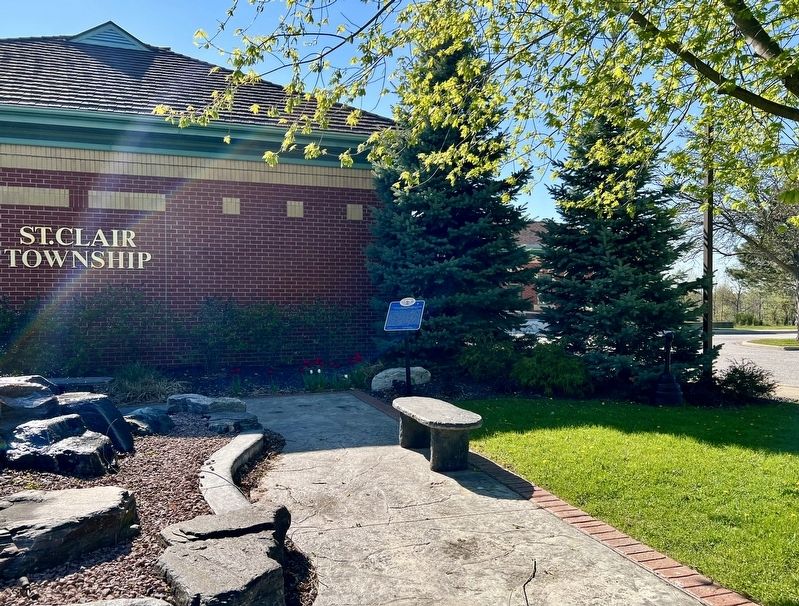
St. Clair Township’s Family Tree Marker image. Click for full size.
Photographed by Tim Boyd, May 11, 2025
2. St. Clair Township’s Family Tree Marker
(here, next to this marker); Township of Moore (a few steps from this marker); St. Clair Inn (approx. 2.4 kilometers away in the U.S.); The Early Years of Stewart James (approx. 2.6 kilometers away); Stewart James, “The Einstein of Magicians” (approx. 2.6 kilometers away); a different marker also named Stewart James (approx. 2.6 kilometers away); The Later Years Stewart James (approx. 2.6 kilometers away); The City of St. Clair (approx. 2.6 kilometers away in the U.S.). Touch for a list and map of all markers in Mooretown.
 
Municipal Handbook of Upper Canada 1850 image. Click for full size.
3. Municipal Handbook of Upper Canada 1850
Showing the new Lambton County
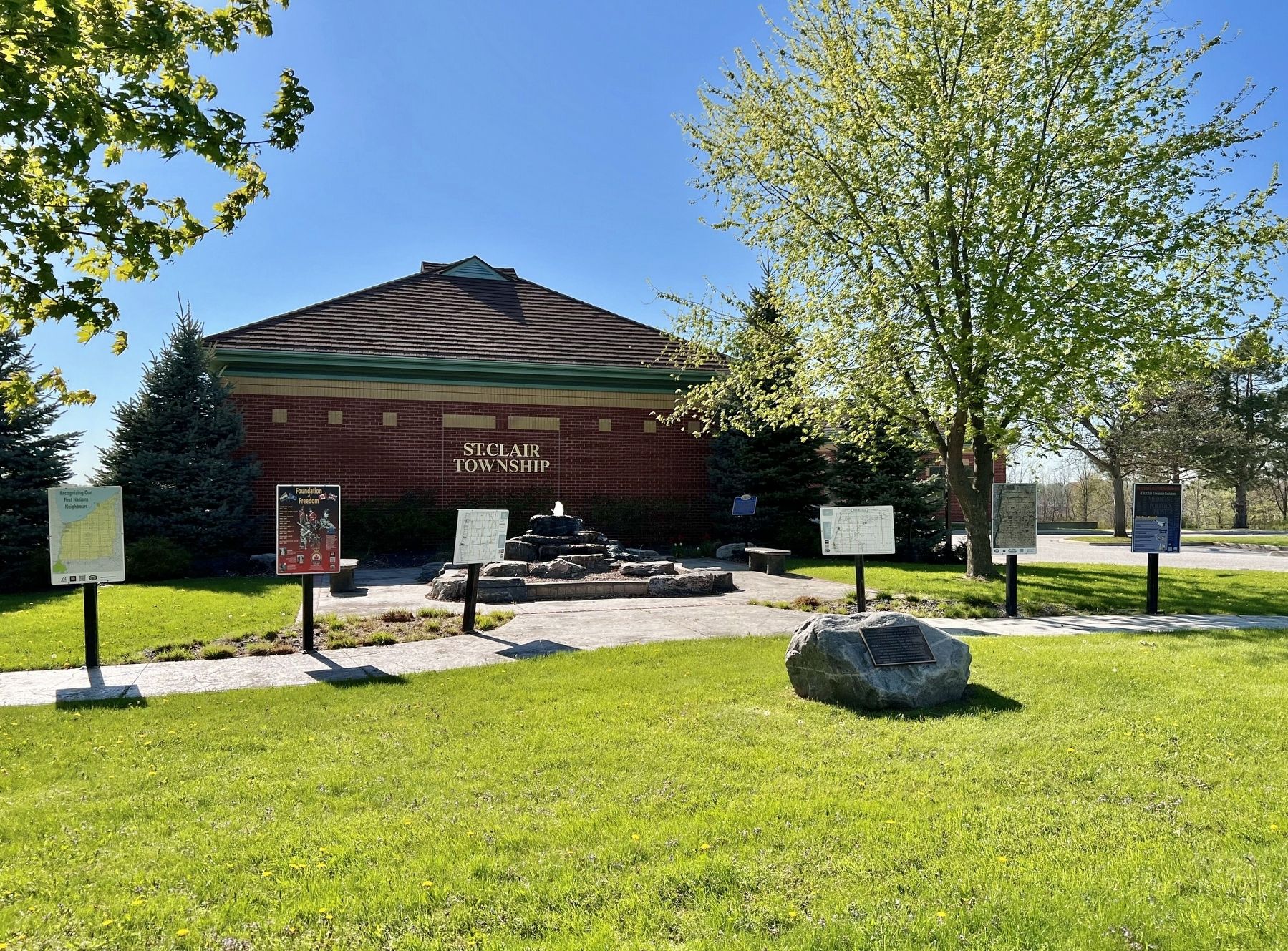
St. George’s Square Commenorative Park image. Click for full size.
Photographed by Tim Boyd, May 11, 2025
4. St. George’s Square Commenorative Park
 
 
Credits. This page was last revised on May 15, 2025. It was originally submitted on May 15, 2025, by Tim Boyd of Hamilton, Ontario. This page has been viewed 119 times since then and 21 times this year. Photos:   1, 2, 3, 4. submitted on May 15, 2025, by Tim Boyd of Hamilton, Ontario. • Andrew Ruppenstein was the editor who published this page.

m=272611

CeraNet Cloud Computing sponsors the Historical Marker Database.
This website earns income from purchases you make after using our links to Amazon.com. We appreciate your support.
Paid Advertisement
Jul. 31, 2026