
Portchester in Hampshire, England, United Kingdom — Northwestern Europe (the British Isles)
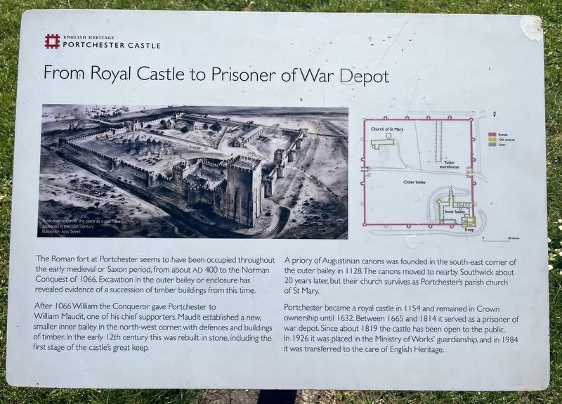
From Royal Castle to Prisoner of War Depot
Portchester Castle
Photographed by Ray Gurganus, April 4, 2025
1. From Royal Castle to Prisoner of War Depot Marker
The Roman fort at Portchester seems to have been occupied throughout the early medieval or Saxon period, from about AD 400 to the Norman Conquest of 1066. Excavation in the outer bailey or enclosure has revealed evidence of a succession of timber buildings from this time.
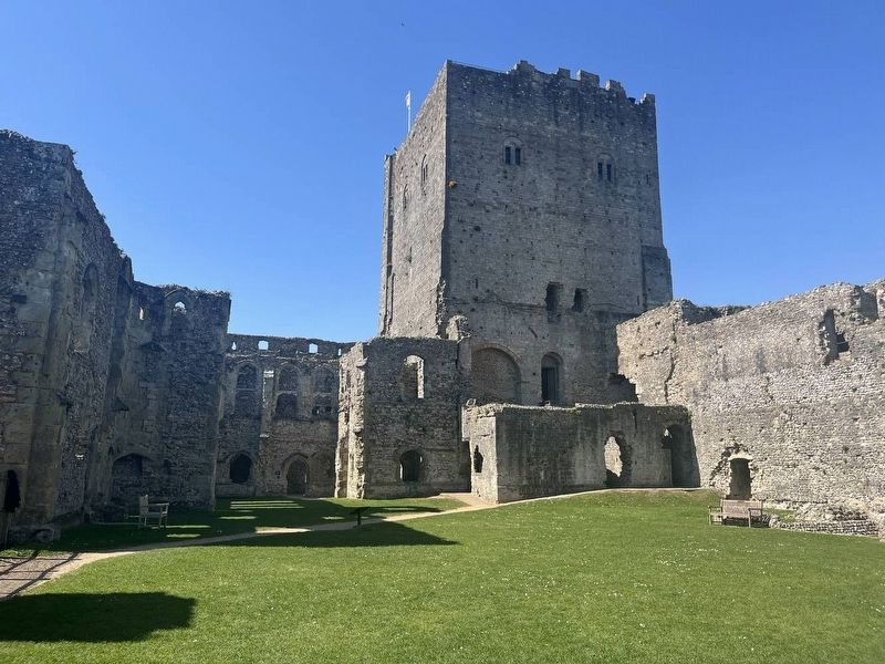
After 1066 William the Conqueror gave Portchester to William Maudit, one of his chief supporters. Maudit established a new, smaller inner bailey in the north-west corner, with defences and buildings of timber. In the early 12th century this was rebuilt in stone, including the first stage of the castle's great keep.
A priory of Augustinian canons was founded in the south-east corner of the outer bailey in 1128.The canons moved to nearby Southwick about 20 years later, but their church survives as Portchester's parish church of St Mary.
Portchester became a royal castle in 1154 and remained in Crown ownership until 1632. Between 1665 and 1814 it served as a prisoner of war depot. Since about 1819 the castle has been open to the public. In 1926 it was placed in the Ministry of Works' guardianship, and in 1984 it was transferred to the care of English
this page online
Erected by English Heritage.
Topics. This historical marker is listed in this topic list: Forts and Castles. A significant historical year for this entry is 1066 CE.
Location. 50° 50.234′ N, 1° 6.867′ W. Marker is in Portchester, England, in Hampshire. It can be reached from Church Lane east of Castle Street, on the right when traveling east. Touch for map. Marker is at or near this postal address: 221 Castle St, Portchester, England PO16 9QW, United Kingdom. Touch for directions.

Regionally, this marker is in the Greater South East. Globally, it is on the Atlantic Ocean, in the North Atlantic Region, in Europe, in Atlantic Europe, on one of the British Isles, in the Western World, and in the Anglosphere. Historically, it finds itself in what was once the Roman Empire.
Other nearby markers. At least 8 other markers are within 5 kilometers of this marker, measured as the crow flies: Richard II's Hall (about 90 meters away, measured in a direct line); A Medieval Castle within a Roman Fort (about 90 meters away); Richard II's Palace (about 90 meters away); Charles Dickens Birthplace (approx. 3.9 kilometers away);
Photographed by Ray Gurganus, April 4, 2025
2. Portchester Castle
Credits. This page was last revised on May 29, 2025. It was originally submitted on May 16, 2025, by Ray Gurganus of Washington, District of Columbia. This page has been viewed 70 times since then and 9 times this year. Photos: 1, 2. submitted on May 16, 2025, by Ray Gurganus of Washington, District of Columbia. • Devry Becker Jones was the editor who published this page.
