Rockville in Washington County, Utah — The American Mountains (Southwest)
Rockville Bridge
Utah Historic Site
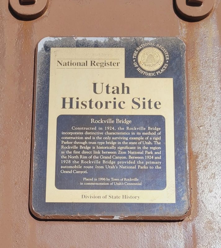
Photographed by James Hulse, April 7, 2025
1. Rockville Bridge Marker
Erected 1996 by Town of Rockville.
Topics. This historical marker is listed in this topic list: Bridges & Viaducts. A significant historical year for this entry is 1924.
Location. 37° 9.5′ N, 113° 2.263′ W. Marker is in Rockville, Utah, in Washington County. It is on Bridge Road 0.2 miles south of East Main (Utah Route 9), on the left when traveling south. The marker is located on the south side of the bridge. Touch for map. Marker is in this post office area: Rockville UT 84763, United States of America. Touch for directions.

Regionally, this marker is in Utah’s Color Country. It is also in the American Southwest, in the
this page online
Other nearby markers. At least 8 other markers are within 4 miles of this marker, measured as the crow flies: A different marker also named Rockville Bridge (within shouting distance of this marker); Grafton Cemetery (approx. 2.4 miles away); Grafton, Utah (approx. 2½ miles away); Discovery of Zion Canyon (approx. 3 miles away); Historic Irrigation Ditch (approx. 3.4 miles away); Birth of a Park (approx. 4 miles away); Promised Land (approx. 4 miles away); Westward Expansion (approx. 4 miles away).
More about this marker. There is a marker (duplicate) on each side of the bridge.
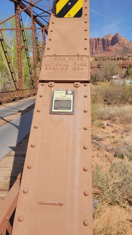
Photographed by James Hulse, April 7, 2025
2. Rockville Bridge Marker
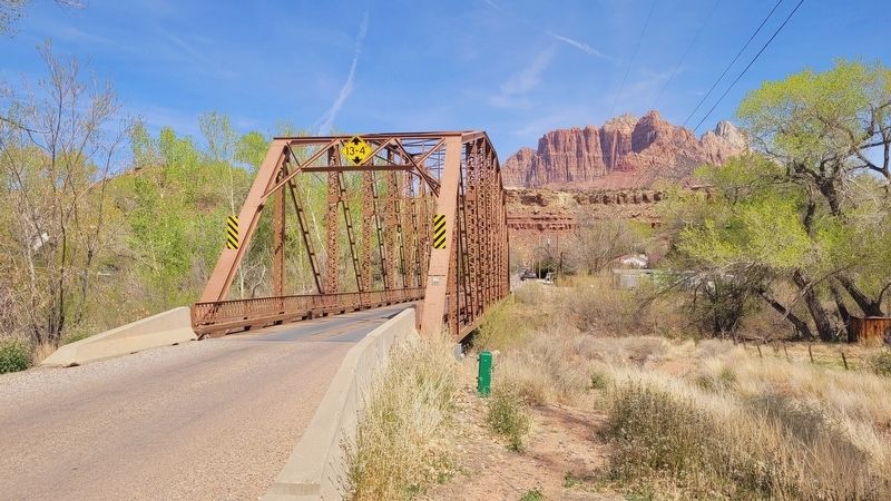
Photographed by James Hulse, April 7, 2025
3. The view of the south side of the Rockville Bridge and Marker
Credits. This page was last revised on May 16, 2025. It was originally submitted on May 16, 2025, by James Hulse of Medina, Texas. This page has been viewed 133 times since then and 11 times this year. Photos: 1, 2, 3. submitted on May 16, 2025, by James Hulse of Medina, Texas.
