Sarnia in Lambton County, Ontario — Central Canada (North America)
The St. Clair Tunnel
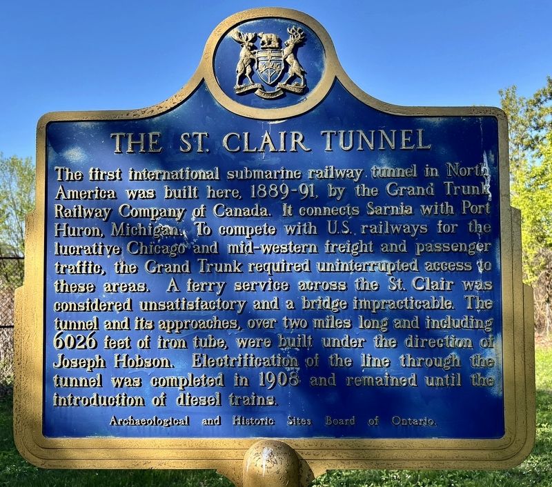
Photographed by Tim Boyd, May 11, 2025
1. The St. Clair Tunnel Marker
Erected by Archaeological and Historic Sites Board of Ontario.
Topics and series. This historical marker is listed in these topic lists: Bridges & Viaducts • Railroads & Streetcars. In addition, it is included in the Canada, Ontario Heritage Trust series list. A significant historical year for this entry is 1891.
Location. 42° 57.461′ N, 82° 24.612′ W. Marker is in Sarnia, Ontario, in Lambton County. It is on Saint Andrew
this page online

Regionally, this marker is in the Southwest Ontario Area and in Southwestern Ontario. It is also in Central Canada. Globally, it is in North America, on the Great Lakes, in the Western Hemisphere, in the Western World, and in the Anglosphere. Historically, it finds itself in what was once a British colony, the Viceroyalty of New France, the Haudenosaunee (Iroquois) Confederacy, and Rupert’s Land.
Other nearby markers. At least 8 other markers are within 3 kilometers of this marker, measured as the crow flies: The St. Clair Tunnel / Le Tunnel St. Clair (here, next to this marker); Ontario’s Oil Refining Industry (approx. half a kilometer away); Davidson House (approx. 1.5 kilometers away in the U.S.); The Port Huron Carferry: crossing the St. Clair River (approx. 1.6 kilometers away in the U.S.); The St. Clair River (approx. 1.6 kilometers away in the U.S.); Bina M. West (approx. 1.8 kilometers away in
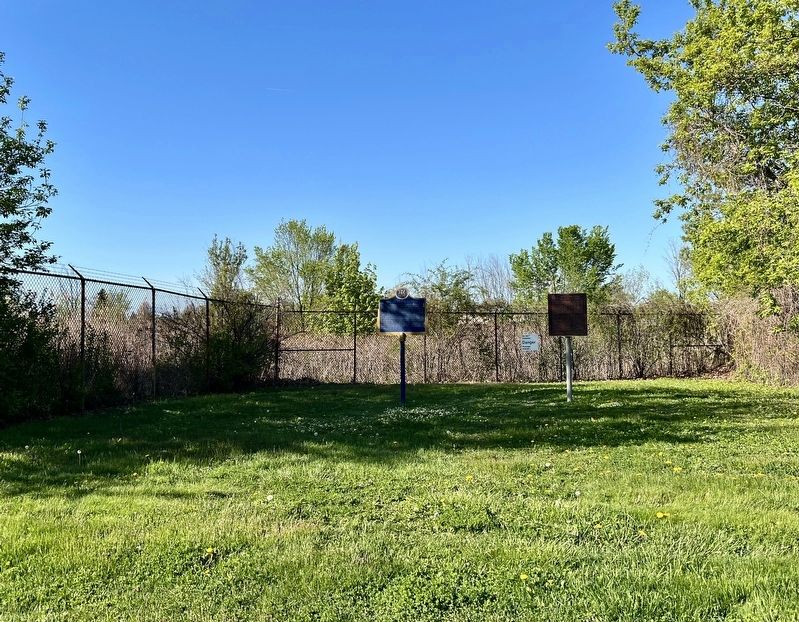
Photographed by Tim Boyd, May 11, 2025
2. The St. Clair Tunnel Marker
Also see . . . A Tale of Two Tunnels: The St. Clair Tunnel (Lambton County Museums).
On April 9, 1891, Sarnia made headlines around the world. Steam whistles sounded on both sides of the St. Clair River as engine #253 made the first trip through the St. Clair Tunnel. The tunnel was an engineering marvel. Its construction captivated the world.(Submitted on May 16, 2025, by Tim Boyd of Hamilton, Ontario.)
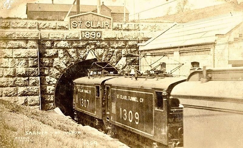
circa 1908
3. The St. Clair Tunnel, ca 1908
Electrified train going through the tunnel
Credits. This page was last revised on May 17, 2025. It was originally submitted on May 16, 2025, by Tim Boyd of Hamilton, Ontario. This page has been viewed 184 times since then and 34 times this year. Photos: 1, 2, 3. submitted on May 16, 2025, by Tim Boyd of Hamilton, Ontario. • Andrew Ruppenstein was the editor who published this page.
