Sarnia in Lambton County, Ontario — Central Canada (North America)
The St. Clair Tunnel
⎯⎯⎯
Le Tunnel St. Clair
Photographed by Tim Boyd, May 11, 2025
1. The St. Clair Tunnel/ Le Tunnel St. Clair Marker

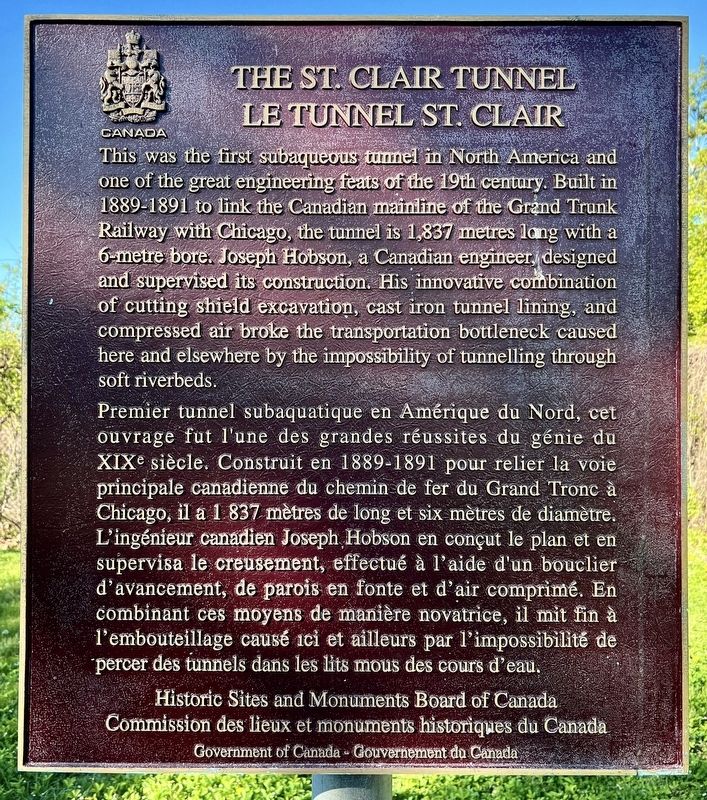
This was the first subaqueous tunnel in North America and one of the great engineering feats of the 19th century. Built in 1889-1891 to link the Canadian mainline of the Grand Trunk Railway with Chicago, the tunnel is 1,837 metres long with a 6-metre bore. Joseph Hobson, a Canadian engineer, designed and supervised its construction. His innovative combination of cutting shield excavation, cast iron tunnel lining, and compressed air broke the transportation bottleneck caused here and elsewhere by the impossibility of tunnelling through soft riverbeds.
Premier tunnel subaquatique en Amérique du Nord, cet ouvrage fut l'une des grandes réussites du génie du XIXe siècle. Construit en 1889-1891 pour relier la voie principale canadienne du chemin de fer du Grand Tronc à Chicago, il a 1 837 mètres de long et six mètres de diamètre. L'ingénieur canadien Joseph Hobson en conçut le plan et en supervisa le creusement, effectué à l'aide d'un bouclier d'avancement, de parois en fonte et d'air comprimé. En combinant ces moyens de manière novatrice, il mit fin à l'embouteillage
this page online
Erected by Historic Sites and Monuments Board of Canada.
Topics and series. This historical marker is listed in this topic list: Railroads & Streetcars. In addition, it is included in the Canada, Historic Sites and Monuments Board series list. A significant historical year for this entry is 1891.
Location. 42° 57.461′ N, 82° 24.611′ W. Marker is in Sarnia, Ontario, in Lambton County. It is at the intersection of Saint Andrew Street and Christina Street South, on the left when traveling east on Saint Andrew Street. Touch for map. Marker is at or near this postal address: 258 St Andrew Street, Sarnia ON N7T 8G8, Canada. Touch for directions.

Regionally, this marker is in the Southwest Ontario Area and in Southwestern Ontario. It is also in Central Canada. Globally, it is in North America, on the Great Lakes, in the Western Hemisphere, in the Western World, and in the Anglosphere. Historically, it finds itself in what was once a British colony, the Viceroyalty of New France, the Haudenosaunee (Iroquois) Confederacy,
Photographed by Tim Boyd, May 11, 2025
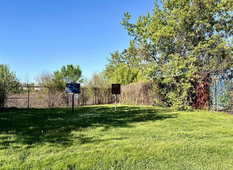
2. The St. Clair Tunnel/ Le Tunnel St. Clair Marker
Other nearby markers. At least 8 other markers are within 3 kilometers of this marker, measured as the crow flies: The St. Clair Tunnel (here, next to this marker); Ontario’s Oil Refining Industry (approx. half a kilometer away); Davidson House (approx. 1.5 kilometers away in the U.S.); The Port Huron Carferry: crossing the St. Clair River (approx. 1.6 kilometers away in the U.S.); The St. Clair River (approx. 1.6 kilometers away in the U.S.); Bina M. West (approx. 1.8 kilometers away in the U.S.); Woman's Benefit Association (approx. 1.8 kilometers away in the U.S.); Woman's Life Insurance Society (approx. 1.8 kilometers away in the U.S.). Touch for a list and map of all markers in Sarnia.
Also see . . . .
The shield method of tunnel excavation involves moving a steel shell (shield) through soft earth. Hydraulic rams force the shield along. The shield protects the tunnel heading from collapsing until a permanent lining is in place. The St. Clair Tunnel required two shields. They were the largest in the world. One started on each side of the river and they met in the middle. The tunnel was lined with(Submitted on May 16, 2025, by Tim Boyd of Hamilton, Ontario.)cast iron and masonry. Within the shields were platforms and partitions to provide support and protect the workers.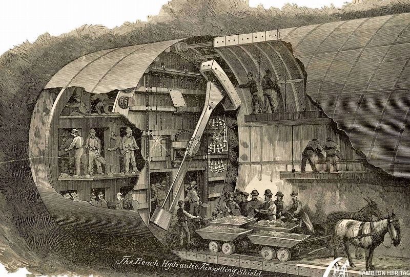 3. The St. Clair Tunnel construction techniqueLambton County Museums
Credits. This page was last revised on May 29, 2025. It was originally submitted on May 16, 2025, by Tim Boyd of Hamilton, Ontario. This page has been viewed 119 times since then and 19 times this year. Photos: 1, 2, 3. submitted on May 16, 2025, by Tim Boyd of Hamilton, Ontario. • Andrew Ruppenstein was the editor who published this page.
