Southampton City Centre , England, United Kingdom — Northwestern Europe (the British Isles)
Defence of the Town
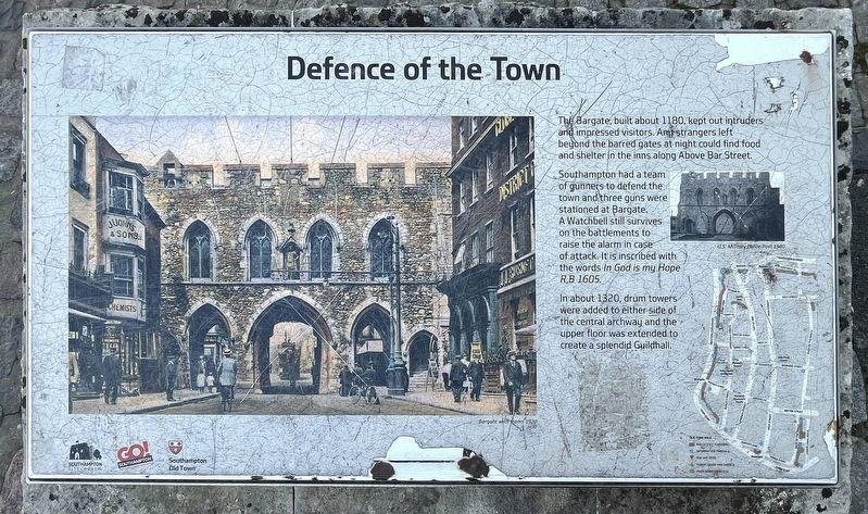
Photographed by Ray Gurganus, April 1, 2025
1. Defence of the Town Marker
Southampton had a team of gunners to defend the town and three guns were stationed at Bargate. A Watchbell still survives on the battlements to raise the alarm in case of attack. It is inscribed with the words In God is my Hope RB 1605.
In about 1320, drum towers were added to either side of the central archway and the upper floor was extended to create a splendid Guildhall.
Erected by Southampton City Council.
Topics. This historical marker is listed in this topic list: Forts and Castles.
Location. 50° 54.147′ N, 1° 24.239′ W. Marker is in Southampton, England. It is in Southampton City Centre. It is on East Bargate. Touch for map. Marker is at or near this postal address: 12 E Bargate, Southampton, England SO14, United Kingdom. Touch for directions.

Regionally, this marker is in the Hampshire Ports. Globally, it is on the Atlantic Ocean, in the North Atlantic Region,
this page online
Other nearby markers. At least 8 other markers are within walking distance of this marker: Jane Austen (here, next to this marker); Bargate and Guildhall (within shouting distance of this marker); Southampton in the Second World War 1939-1945 (within shouting distance of this marker); Town Walls (within shouting distance of this marker); All Saints Church (within shouting distance of this marker); A Fashionable Resort (about 150 meters away, measured in a direct line); Castle Gate (about 150 meters away); Arundel Tower (about 150 meters away). Touch for a list and map of all markers in Southampton.
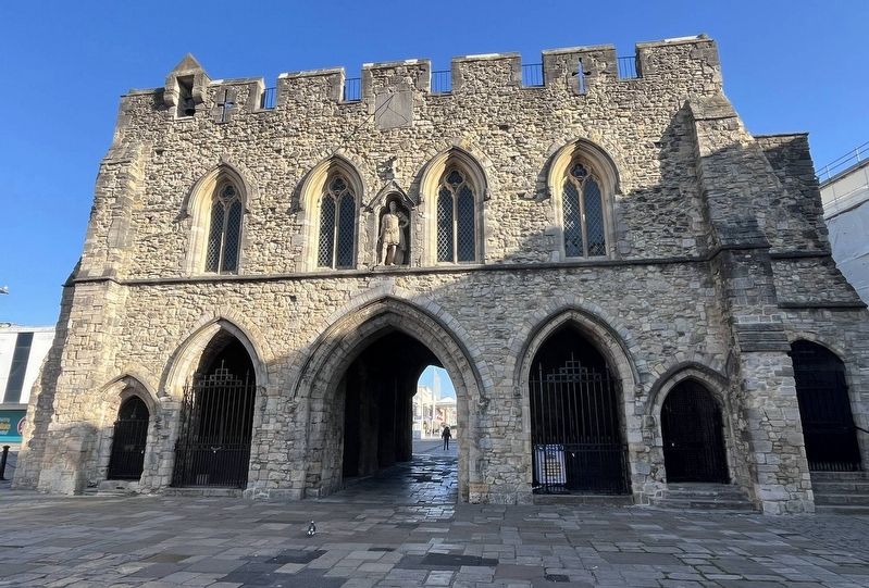
Photographed by Ray Gurganus, April 1, 2025
2. The Bargate
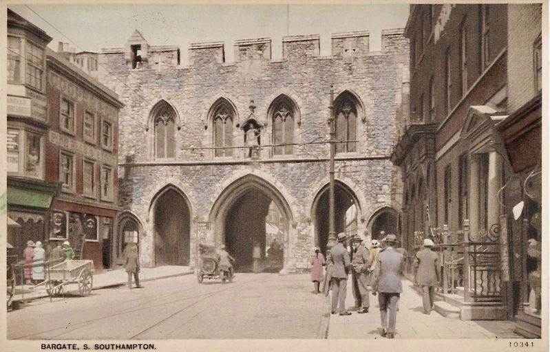
circa 1910
3. Bargate (south side)
Note the buildings visible here on each side of the gate have been removed.
Credits. This page was last revised on June 4, 2025. It was originally submitted on May 18, 2025, by Ray Gurganus of Washington, District of Columbia. This page has been viewed 82 times since then and 15 times this year. Photos: 1, 2. submitted on May 18, 2025, by Ray Gurganus of Washington, District of Columbia. 3. submitted on May 24, 2025. • Andrew Ruppenstein was the editor who published this page.
