
Arnprior in Renfrew County, Ontario — Central Canada (North America)
The Arnprior Post Office and Customs House
1898
Photographed by William Fischer, Jr., May 13, 2025
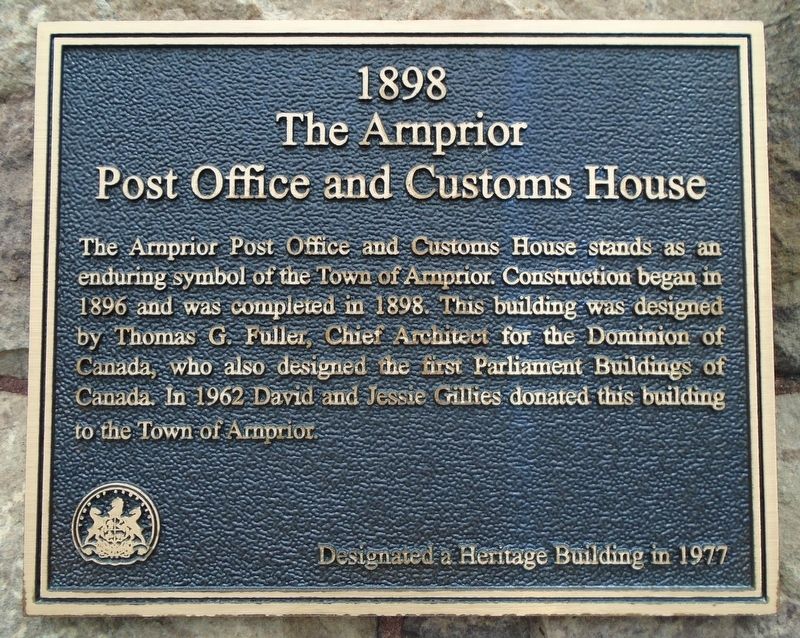
1. The Arnprior Post Office and Customs House Marker
The Arnprior Post Office and Customs House stands as an enduring symbol of the Town of Arnprior. Construction began in 1896 and was completed in 1898. This building was designed by Thomas G. Fuller, Chief Architect for the Dominion of Canada, who also designed the first Parliament Buildings of Canada. In 1962 David and Jessie Gillies donated this building to the Town of Arnprior.
Designated a Heritage Building in 1977
Erected 1977.
Topics and series. This historical marker is listed in this topic list: Notable Buildings. In addition, it is included in the Canada Centennial of Confederation series list. A significant historical year for this entry is 1898.
Location. 45° 26.099′ N, 76° 21.171′ W. Marker is in Arnprior, Ontario, in Renfrew County. It is at the intersection of John Street North and Madawaska Street (County Highway 1), on the right when traveling north on John Street North. Touch for map. Marker is at or near this postal address: 35 Madawaska Street, Arnprior ON K7S 1R8, Canada. Touch for directions.

Regionally, this marker is in the Haliburton Highlands to Ottawa Valley and in Eastern Ontario.
this page online
Other nearby markers. At least 8 other markers are within 13 kilometers of this marker, measured as the crow flies: David A. Gillies Building (here, next to this marker); McLachin Grist Mill (about 120 meters away, measured in a direct line); Grace-St. Andrew's United Church Cornerstone Laying (approx. 0.4 kilometers away); War Memorial (approx. 0.7 kilometers away); Daniel McLachlin (approx. 0.9 kilometers away); Pakenham's Early Growth (approx. 12.1 kilometers away); Pakenham 5 Arched Stone Bridge (approx. 12.2 kilometers away); St. Peter Celestine Church (approx. 12.2 kilometers away). Touch for a list and map of all markers in Arnprior.
Another marker is no longer nearby. Timber Rafting on the Ottawa (was approx. one kilometer away but has been confirmed missing).
Also see . . . D.A. Gillies Building National Historic Site.
Photographed by William Fischer, Jr., May 13, 2025
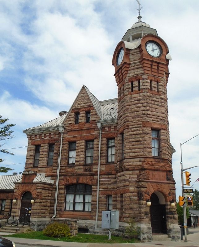
2. The Arnprior Post Office and Customs House
Photographed by William Fischer, Jr., May 13, 2025
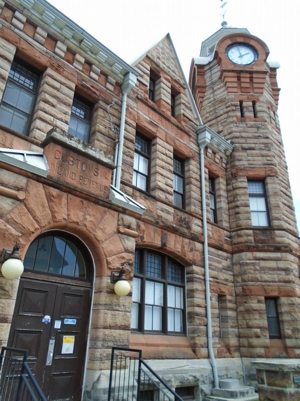
3. The Arnprior Post Office and Customs House Detail
Photographed by William Fischer, Jr., May 13, 2025
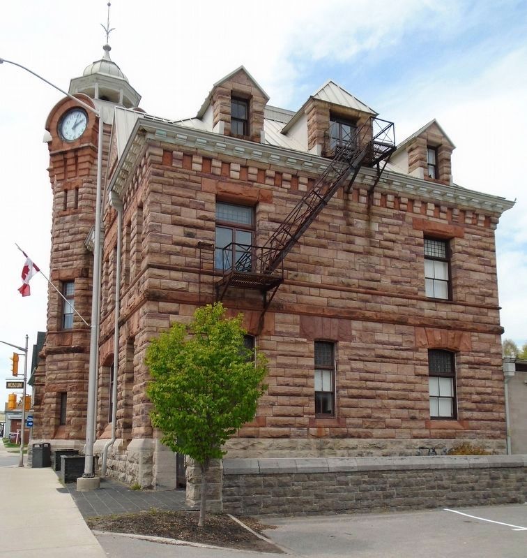
4. The Arnprior Post Office and Customs House
Credits. This page was last revised on May 19, 2025. It was originally submitted on May 19, 2025, by William Fischer, Jr. of Reynoldsburg, Ohio. This page has been viewed 252 times since then and 103 times this year. Photos: 1, 2, 3, 4. submitted on May 19, 2025, by William Fischer, Jr. of Reynoldsburg, Ohio.
