Lanark Highlands in Watsons Corners in Lanark County, Ontario — Central Canada (North America)
The Dalhousie Library
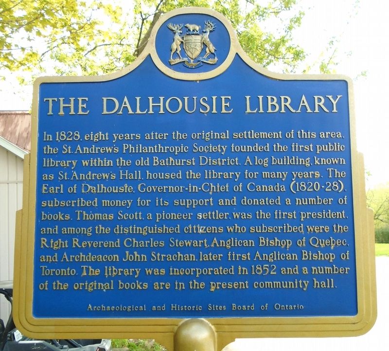
Photographed by William Fischer, Jr., May 13, 2025
1. The Dalhousie Library Marker
In 1828, eight years after the original settlement of this area, the St. Andrew's Philanthropic Society founded the first public library within the old Bathurst District. A log building, known as St. Andrew's Hall, housed the library for many years. The Earl of Dalhousie, Governor-in-Chief of Canada (1820-28), subscribed money for its support and donated a number of books. Thomas Scott, a pioneer settler, was the first president, and among the distinguished citizens who subscribed were the Right Reverend Charles Stewart, Anglican Bishop of Quebec, and Archdeacon John Strachan, later first Anglican Bishop of Toronto. The library was incorporated in 1852 and a number of the original books are in the present community hall.
Erected by Archaelogical and Historic Sites Board of Ontario.
Topics and series. This historical marker is listed in these topic lists: Charity & Public Work • Education • Settlements & Settlers. In addition, it is included in the Canada, Ontario Heritage Trust series list. A significant historical year for this entry is 1828.
Location. 45° 1.268′ N, 76° 27.806′ W. Marker is in Watsons
this page online

Regionally, this marker is in the Haliburton Highlands to Ottawa Valley and in Eastern Ontario. It is also in Central Canada. Globally, it is in North America, the Western Hemisphere, the Western World, and the Anglosphere. Historically, it finds itself in what was once a British colony, the Viceroyalty of New France, the Haudenosaunee (Iroquois) Confederacy, and Rupert’s Land.
Other nearby markers. At least 8 other markers are within 21 kilometers of this marker, measured as the crow flies: War Memorial (approx. 7.8 kilometers away); The Lanark Settlement 1820 (approx. 7.8 kilometers away); Charles Mair, 1838-1927 (approx. 7.8 kilometers away); World Wars Memorial (approx. 7.8 kilometers away); Bethel Methodist Church (approx. 14.3 kilometers away);
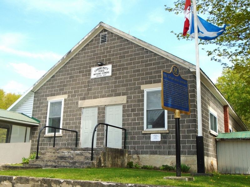
Photographed by William Fischer, Jr., May 13, 2025
2. The Dalhousie Library Marker
Credits. This page was last revised on May 19, 2025. It was originally submitted on May 19, 2025, by William Fischer, Jr. of Reynoldsburg, Ohio. This page has been viewed 94 times since then and 14 times this year. Photos: 1, 2. submitted on May 19, 2025, by William Fischer, Jr. of Reynoldsburg, Ohio.
