Fayetteville in Brown County, Ohio — The American Midwest (Great Lakes)
Fayetteville
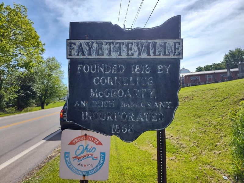
Photographed by Craig Doda, May 10, 2025
1. Fayetteville Marker
Erected by Ohio Historical Society / Ohio Department of Highways.
Topics and series. This historical marker is listed in this topic list: Settlements & Settlers. In addition, it is included in the Ohio Historical Society / The Ohio History Connection series list. A significant historical year for this entry is 1813.
Location. 39° 11.173′ N, 83° 56.194′ W. Marker is in Fayetteville, Ohio, in Brown County. It is on West Pike Street (U.S. 50) 0.1 miles west of North Bank Street, on the right when traveling west. Touch for map. Marker is at or near this postal address: 312 W Pike St, Fayetteville OH 45118, United States of America. Touch for directions.

Regionally, this marker is in Greater Cincinnati and in Southern Ohio Hill Country. It is also in the American Midwest, in the Ohio River Valley, in Appalachia, and specifically in Northern Appalachia. Globally, it is in North America, the Western Hemisphere, the Western World, and the Anglosphere. Historically, it finds itself in what was once the Haudenosaunee (Iroquois) Confederacy,
this page online
Other nearby markers. At least 8 other markers are within 3 miles of this marker, measured as the crow flies: Fayetteville Veterans Memorial (approx. 0.2 miles away); a different marker also named Fayetteville Veterans Memorial (approx. 0.6 miles away); Vera Cruz WW II Memorial (approx. 2 miles away); The Ursulines of Brown County (approx. 2.9 miles away); "Cross in The Wilderness" (approx. 3 miles away); a different marker also named The Ursulines of Brown County (approx. 3 miles away); Solomon Run Low-Head Dam Removal (approx. 3 miles away); St. Angela Hall (approx. 3.1 miles away). Touch for a list and map of all markers in Fayetteville.
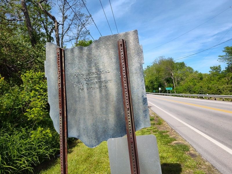
Photographed by Craig Doda, May 10, 2025
2. Fayetteville Marker
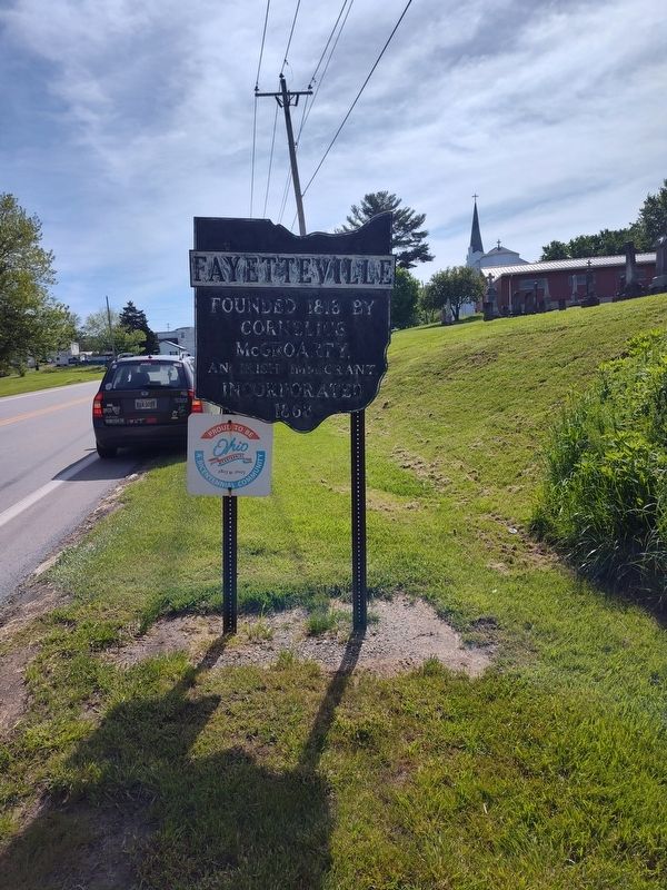
Photographed by Craig Doda, May 10, 2025
3. Fayetteville Marker
Credits. This page was last revised on May 21, 2025. It was originally submitted on May 20, 2025, by Craig Doda of Napoleon, Ohio. This page has been viewed 199 times since then and 38 times this year. Photos: 1, 2, 3. submitted on May 20, 2025, by Craig Doda of Napoleon, Ohio. • J. Makali Bruton was the editor who published this page.
