
Pakenham in Mississippi Mills in Lanark County, Ontario — Central Canada (North America)
Pakenham Bridge and Restoration
1901 - 1984
Photographed by William Fischer, Jr., May 13, 2025
1. Pakenham Bridge and Restoration Marker
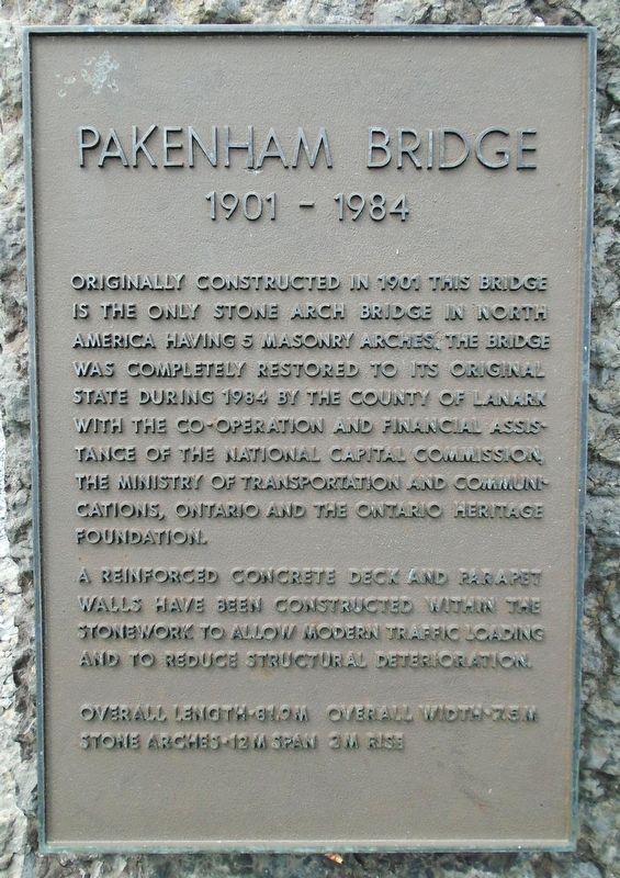
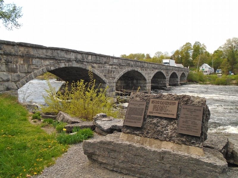
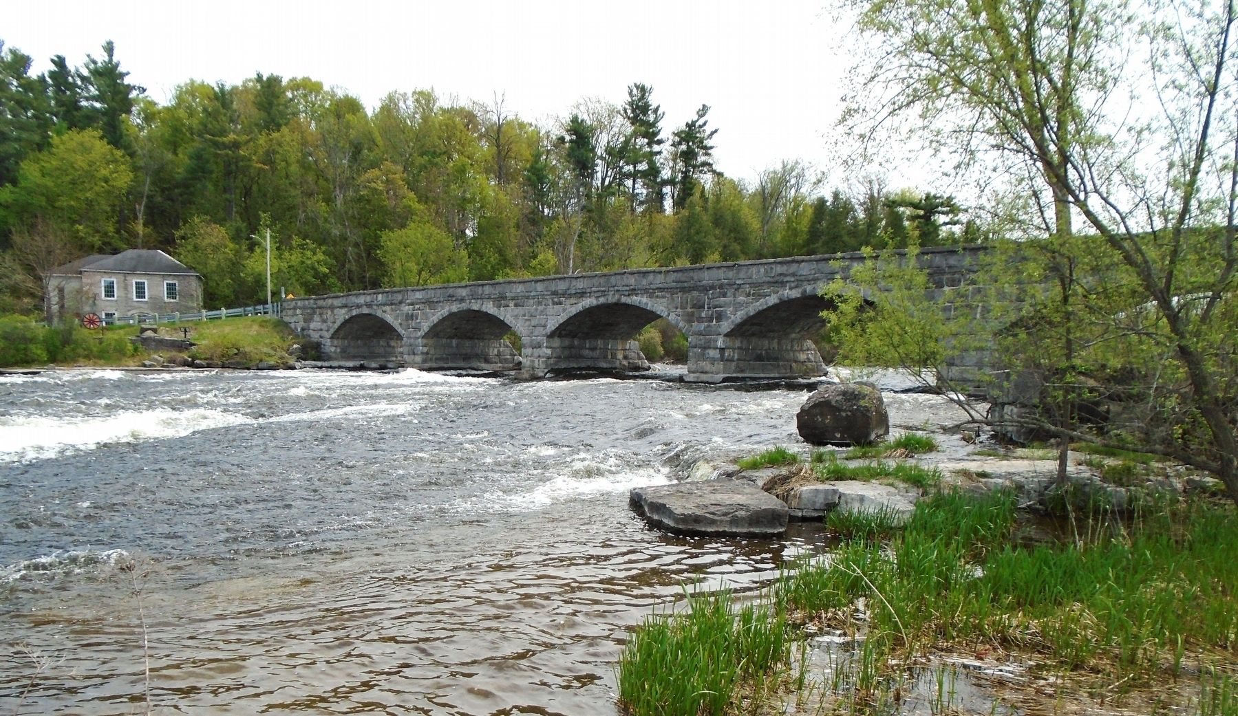
Originally constructed in 1901 this bridge is the only stone arch bridge in North America having 5 masonry arches. The bridge was completely restored to its original state during 1984 by the County of Lanark with the co-operation and financial assistance of the National Capital Commission, the Ministry of Transportation and Communications, Ontario and the Ontario Heritage Foundation.
A reinforced concrete deck and parapet walls have been constructed within the stonework to allow modern traffic loading and to reduce structural deterioration.
Overall Length 81.9m
Overall Width 7.5m
Stone Arches 12m span 2m rise
———————————
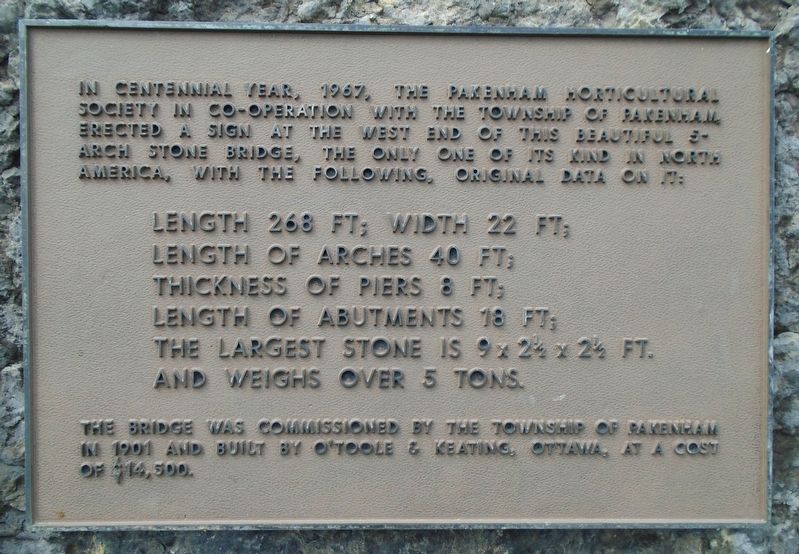
In Centennial Year, 1967, the Pakenham Horticultural Society in co-operation with the Township of Pakenham erected a sign at the west end of this beautiful 5-arch stone bridge, the only one of its kind in North America, with the following, original data on:
Length 268 ft; Width 22 ft;
Length of arches 40 ft;
Thickness of piers 8 ft;
Length of abutments 18 ft;
The largest stone is 9x 2½ x 2½ ft.
And weighs over 5 tons.
The bridge was commissioned by the Township of Pakenham in 1901 and built
this page online
Erected by the County of Lanark.
Topics. This historical marker is listed in this topic list: Bridges & Viaducts. A significant historical year for this entry is 1901.
Location. 45° 20.142′ N, 76° 17.185′ W. Marker is in Mississippi Mills, Ontario, in Lanark County. It is in Pakenham. It is at the intersection of Kinburn Side Road (County Highway 20) and Dark's Side Road, on the right when traveling west on Kinburn Side Road. Marker is in the Pakenham Bridge Conservation Area adjacent to the bridge's east approach. Touch for map. Marker is in this post office area: Mississippi Mills ON K0A 2X0, Canada. Touch for directions.

Regionally, this marker is in the Haliburton Highlands to Ottawa Valley and in Eastern Ontario. It is also in Central Canada. Globally, it is in North America, the Western Hemisphere, the Western World, and the Anglosphere. Historically, it finds itself in what was once a British colony, the Viceroyalty of New France, the Haudenosaunee (Iroquois) Confederacy, and Rupert’s Land.
Other nearby markers. At least 8 other markers are within walking
Photographed by William Fischer, Jr., May 13, 2025
2. Pakenham Bridge and Restoration Marker
Also see . . . Pakenham’s Five Span Bridge stars in local culture. (Submitted on May 20, 2025, by William Fischer, Jr. of Reynoldsburg, Ohio.)

Photographed by William Fischer, Jr., May 13, 2025
3. Pakenham Bridge and Restoration Marker
Photographed by William Fischer, Jr., May 13, 2025
4. Pakenham Bridge and Restoration Markers
Photographed by William Fischer, Jr., May 13, 2025
5. Five-Span Stone Bridge
Credits. This page was last revised on May 21, 2025. It was originally submitted on May 20, 2025, by William Fischer, Jr. of Reynoldsburg, Ohio. This page has been viewed 150 times since then and 28 times this year. Photos: 1, 2, 3, 4, 5. submitted on May 20, 2025, by William Fischer, Jr. of Reynoldsburg, Ohio.
