
Pakenham in Mississippi Mills in Lanark County, Ontario — Central Canada (North America)
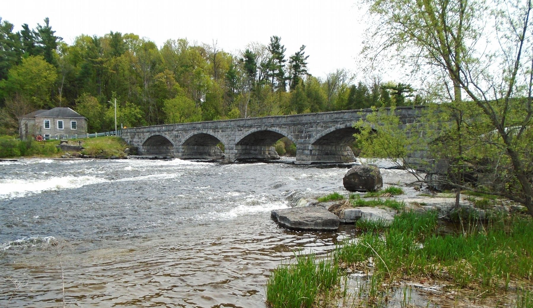
Pakenham 5 Arched Stone Bridge
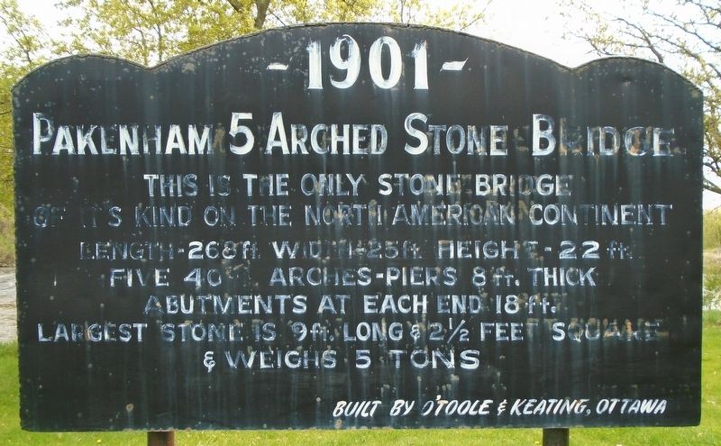
1901
Photographed by William Fischer, Jr., May 13, 2025
1. Pakenham 5 Arched Stone Bridge Marker
This is the only stone bridge of its kind on the North American continent
Length-268 ft. Width 25 ft. Height-22 ft.
Five 40 ft. arches-piers 8 ft. thick
Abutments at each end 18 ft.
Largest stone is 9 ft. long & 2½ feet square
& weighs 5 tons
Built by O'Toole & Keating, Ottawa
Erected 1967 by Pakenham Horticultural Society and the Township of Pakenham.
Topics. This historical marker is listed in these topic lists: Architecture • Bridges & Viaducts. A significant historical year for this entry is 1901.
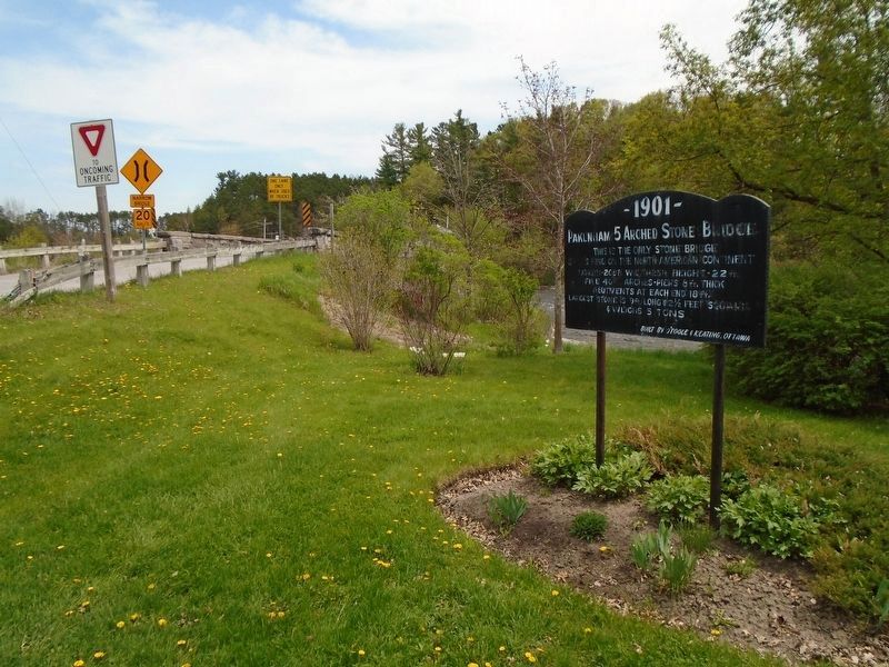
Location. 45° 20.137′ N, 76° 17.269′ W. Marker is in Mississippi Mills, Ontario, in Lanark County. It is in Pakenham. It is at the intersection of County Highway 20 and the bridge's west approach, on the right when traveling east on County Highway 20. Touch for map. Marker is in this post office area: Mississippi Mills ON K0A 2X0, Canada. Touch for directions.

Regionally, this marker is in the Haliburton Highlands to Ottawa Valley and in Eastern Ontario. It is also in Central Canada. Globally, it is in North America, the Western Hemisphere, the Western World, and the Anglosphere. Historically,
this page online
Other nearby markers. At least 8 other markers are within walking distance of this marker: Pakenham's Early Growth (within shouting distance of this marker); Pakenham Bridge and Restoration (about 120 meters away, measured in a direct line); Packenham Industry and Commerce (about 120 meters away); Five-Span Stone Bridge (about 120 meters away); John Peter Levi (approx. 0.2 kilometers away); Pakenham (approx. 0.2 kilometers away); 1840s General Store & Bakery (approx. 0.3 kilometers away); St. Peter Celestine Church (approx. 0.3 kilometers away). Touch for a list and map of all markers in Mississippi Mills.
Photographed by William Fischer, Jr., May 13, 2025
2. Pakenham 5 Arched Stone Bridge Marker
Photographed by William Fischer, Jr., May 13, 2025
3. Five-Span Stone Bridge
Credits. This page was last revised on May 21, 2025. It was originally submitted on May 21, 2025, by William Fischer, Jr. of Reynoldsburg, Ohio. This page has been viewed 99 times since then and 18 times this year. Photos: 1, 2. submitted on May 21, 2025, by William Fischer, Jr. of Reynoldsburg, Ohio. 3. submitted on May 20, 2025, by William Fischer, Jr. of Reynoldsburg, Ohio.
