
Richmond in Madison County, Kentucky — The American South (East South Central)
Site of Barnes Mill
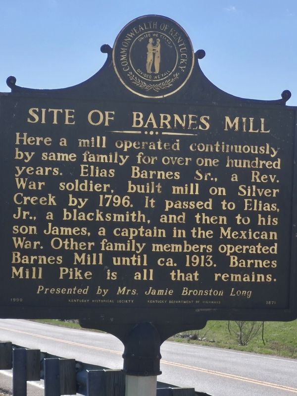
Photographed by Emily Bailey, March 22, 2025
1. Site of Barnes Mill Marker
Here a mill operated continuously by same family for over one hundred years. Elias Barnes, Sr., a Rev. War soldier, built mill on Silver Creek by 1796. It passed to Elias, Jr., a blacksmith, and then to his son James, a captain in the Mexican War. Other family members operated Barnes Mill until ca. 1913. Barnes Mill Pike is all that remains.
Erected 1990 by Kentucky Historical Society-Kentucky Department of Highways. (Marker Number 1871.)
Topics. This historical marker is listed in these topic lists: Notable Places • War, Mexican-American. A significant historical year for this entry is 1796.
Location. 37° 42.842′ N, 84° 23.402′ W. Marker is near Richmond, Kentucky, in Madison County. It is on Barnes Mill Road (Kentucky Route 876) 0.3 miles south of Hilltop Drive, on the left when traveling west. Touch for map. Marker is at or near this postal address: 1925 Barnes Mill Road, Richmond KY 40475, United States of America. Touch for directions.

Regionally, this marker is in the American South, specifically in the Upper South, in Appalachia, and specifically in Southern
this page online
Other nearby markers. At least 8 other markers are within 6 miles of this marker, measured as the crow flies: Milford, 1st Seat of Madison County (approx. 3.4 miles away); White Oak Pond Church (approx. 3.4 miles away); Madison Hemp And Flax Co. / Hemp in Kentucky (approx. 4.1 miles away); Grave of Hancock Taylor (approx. 4.2 miles away); Christopher (Kit) Carson (approx. 5 miles away); Kit Carson-Legend of the Old West (approx. 5.1 miles away); Eastern Kentucky Univ. (approx. 5.3 miles away); Angels of the Battlefield (approx. 5½ miles away). Touch for a list and map of all markers in Richmond.
More about this marker. The Marker is located near the bank of Sliver Creek.
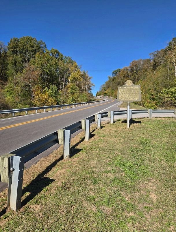
Photographed by Bradley Owen, October 16, 2025
2. Site of Barnes Mill Marker
View is looking northeast.
Credits. This page was last revised on October 17, 2025. It was originally submitted on May 22, 2025, by Emily Bailey of Richmond, Kentucky. This page has been viewed 276 times since then and 66 times this year. Photos: 1. submitted on May 22, 2025, by Emily Bailey of Richmond, Kentucky. 2. submitted on October 17, 2025, by Bradley Owen of Morgantown, West Virginia. • James Hulse was the editor who published this page.
