Kaysville in Davis County, Utah — The American Mountains (Southwest)
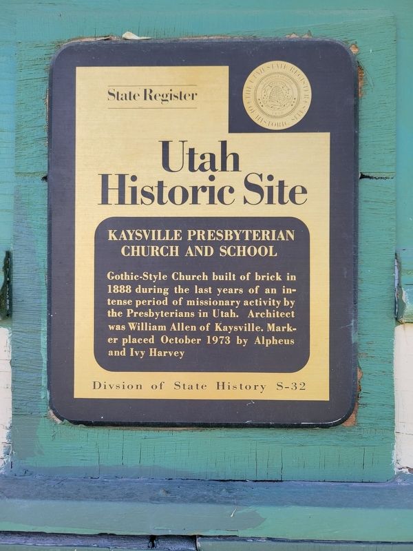
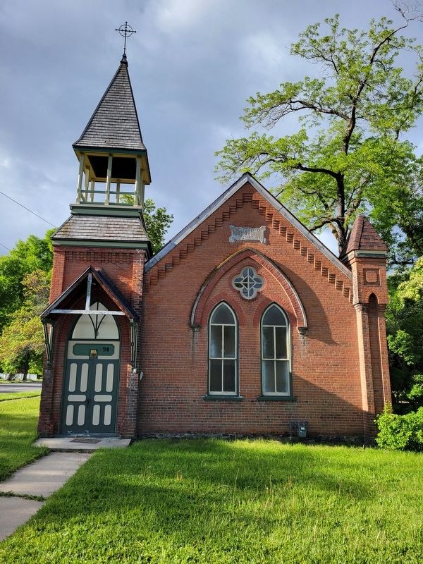
Kaysville Presbyterian Church and School
Utah Historic Site
| — | National Register of Historic Places | — |
Photographed by Jeremy Snow, May 20, 2025
1. Kaysville Presbyterian Church and School Marker
Erected by Utah Division of State History. (Marker Number S-32.)
Topics and series. This historical marker is listed in this topic list: Religion & Religious Structures. In addition, it is included in the Utah Historic Sites (NRHP) series list. A significant historical year for this entry is 1888.
Location. 41° 2.081′ N, 111° 56.195′ W. Marker is in Kaysville, Utah, in Davis County. It is at the intersection of East Center Street and S 100 E, on the right when traveling east on East Center Street. Touch for map. Marker is at or near this postal address: 94 E Center Street, Kaysville UT 84037, United States of America. Touch for directions.

Regionally, this marker is in the Wasatch Front and in Greater Salt Lake. It is also in the American Mountain West and on the Colorado Plateau. Globally, it is in North America, the Rocky Mountains, the Western Hemisphere, the Western World,
this page online
Other nearby markers. At least 8 other markers are within 2 miles of this marker, measured as the crow flies: The Weinel Mill (about 600 feet away, measured in a direct line); John George Moroni Barnes House (approx. 0.2 miles away); Barnes-Gibson Home (approx. 0.2 miles away); Kaysville Tabernacle (approx. ¼ mile away); Kay's Ward Meetinghouse (approx. 0.3 miles away); George Pilling Adams Cabin (approx. 0.4 miles away); John Clifton & Ruth Walker Linford (approx. 0.8 miles away); The House Where John Taylor Died (approx. 1.8 miles away). Touch for a list and map of all markers in Kaysville.
Photographed by Jeremy Snow, May 20, 2025
2. Kaysville Presbyterian Church and School Marker
Credits. This page was last revised on May 28, 2025. It was originally submitted on May 23, 2025, by Jeremy Snow of Cedar City, Utah. This page has been viewed 666 times since then and 425 times this year. Photos: 1, 2. submitted on May 23, 2025, by Jeremy Snow of Cedar City, Utah. • Andrew Ruppenstein was the editor who published this page.
