Salt Lake City in Salt Lake County, Utah — The American Mountains (Southwest)
Early East Millcreek Schools

Photographed by Jeremy Snow, May 19, 2025
1. Early East Millcreek Schools Marker
The pioneers of East Millcreek built the log schoolhouse in 1854 on bench land above a creek, later named Millcreek. Drinking water was carried up the hill from the creek. Logs were brought from the nearby canyons, and members of the community furnished the labor to build the school. The children wrote on desks of wide pine slabs with charcoal gathered from a kiln in the canyon. The teacher removed the writing with a wood plane. The school was located on Millcreek Road, about one-half mile east of this site. The building was sold to Moses Wilkinson in 1878 and moved; it became his family home.
The second school was housed in the adobe chapel of the East Millcreek Ward that stood directly across this intersection, perhaps 30 yards east of the mill marker. Completed in 1878, the building housed worshipers on Sunday, young students on weekdays, and people of all ages at social gatherings. A curtain divided its single 25 by 40-foot room to give two teachers their own classrooms. As was the case with the earlier log school, parents were required to pay in cash, produce, or other goods for their children's schooling. Serving
this page online
In 1890 the Territorial Legislature passed the Free School Law, making education available to all children. Three years later, the 33rd District School opened one-half block north of this site on the east side of 2700 East Street. This tax-supported school of brick, with a small bell tower, covered porch, and its date and name embossed proudly on its front, housed an increasing student enrollment until 1910 when the larger Sherman School was constructed.
Erected 1999 by Daughters of Utah Pioneers. (Marker Number 502.)
Topics and series. This historical marker is listed in this topic list: Education. In addition, it is included in the Daughters of Utah Pioneers series list. A significant historical year for this entry is 1854.
Location. 40° 41.816′ N, 111° 48.903′ W. Marker is in Salt Lake City, Utah, in Salt Lake County. It is on East Evergreen Avenue, on the right when traveling south. Touch for map. Marker is at or near this postal address: 2700 E Evergreen Avenue, Salt Lake City UT 84109, United States of America. Touch for directions.

Regionally, this marker is in the
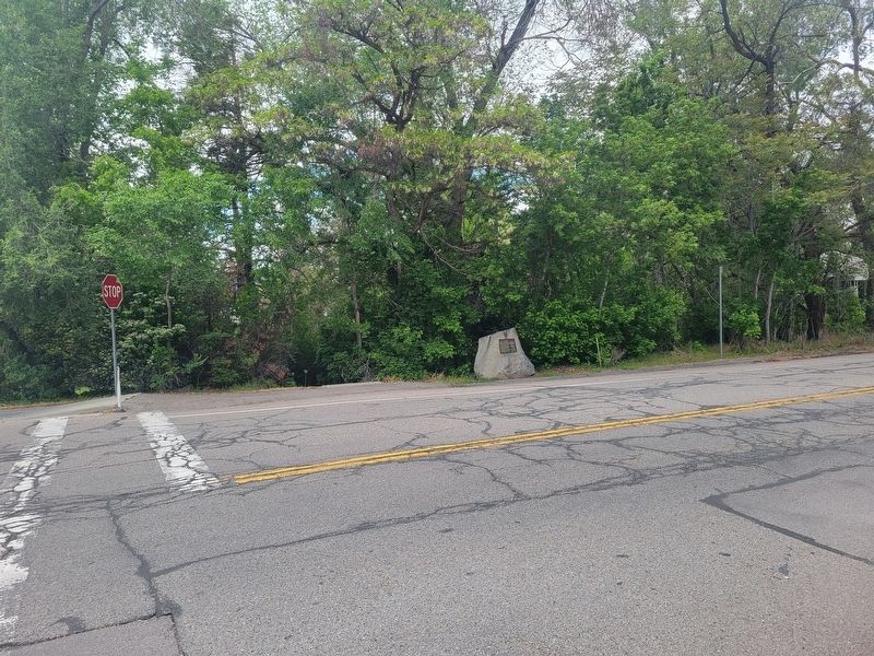
Photographed by Jeremy Snow, May 19, 2025
2. Early East Millcreek Schools Marker
Other nearby markers. At least 8 other markers are within 2 miles of this marker, measured as the crow flies: Pioneer Flour-Mill Site (within shouting distance of this marker); Legacy of the Black Pioneer (approx. 0.6 miles away); Utah Nephi Smart Tannery (approx. ¾ mile away); Dudler's Inn (approx. 1.1 miles away); Dudler's Wine Cellar (approx. 1.1 miles away); The Railroad (approx. 1.1 miles away); Sandstone Wall & Aquaduct (approx. 1.1 miles away); The Golden Pass Road and Tollhouse (approx. 1.1 miles away). Touch for a list and map of all markers in Salt Lake City.
Credits. This page was last revised on May 24, 2025. It was originally submitted on May 24, 2025, by Jeremy Snow of Cedar City, Utah. This page has been viewed 196 times since then and 48 times this year. Photos: 1, 2. submitted on May 24, 2025, by Jeremy Snow of Cedar City, Utah. • Andrew Ruppenstein was the editor who published this page.
