Bristersburg in Fauquier County, Virginia — The American South (Mid-Atlantic)
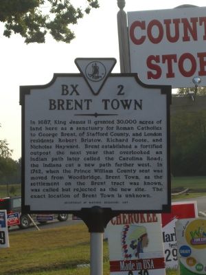
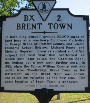
Brent Town
Erected 1997 by Department of Historic Resources. (Marker Number BX-2.)
Topics and series. This historical marker is listed in these topic lists: Churches & Religion • Colonial Era • Settlements & Settlers. In addition, it is included in the Virginia Department of Historic Resources (DHR) series list. A significant historical year for this entry is 1687.
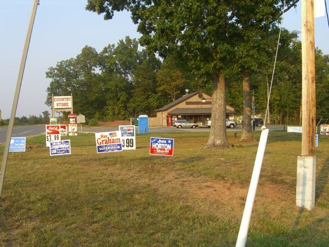
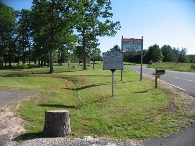
Location. 38° 35.083′ N, 77° 36.523′ W. Marker is in Bristersburg, Virginia, in Fauquier County. Marker is at the intersection of Elk Run Road (County Route 806) and Courthouse Road, on the left when traveling south on Elk Run Road. Touch for map. Marker is in this post office area: Midland VA 22728, United States of America. Touch for directions.
Other nearby markers. At least 8 other markers are within 6 miles of this marker, measured as the crow flies. Dalton Reservoir (approx. 2.8 miles away); Elk Run Anglican Church Site (approx. 4 miles away); Elk Run Village (approx. 4 miles away); Stuart and Mosby (approx. 4.9 miles away); Catlett’s Station (approx. 5 miles away); Green Level Plantation (approx. 5.1 miles away); Mosby’s Raid at Catlett’s Station (approx. 5.2 miles away); John Marshall’s Birthplace (approx. 5.6 miles away).
Credits. This page was last revised on December 25, 2019. It was originally submitted on September 26, 2007, by Kevin W. of Stafford, Virginia. This page has been viewed 1,923 times since then and 67 times this year. Photos: 1. submitted on September 26, 2007, by Kevin W. of Stafford, Virginia. 2. submitted on May 25, 2008, by Craig Swain of Leesburg, Virginia. 3. submitted on September 26, 2007, by Kevin W. of Stafford, Virginia. 4. submitted on May 25, 2008, by Craig Swain of Leesburg, Virginia. • J. J. Prats was the editor who published this page.


