Madoc in Centre Hastings in Hastings County, Ontario — Central Canada (North America)
The Founding of Madoc
Photographed by William Fischer, Jr., May 12, 2025
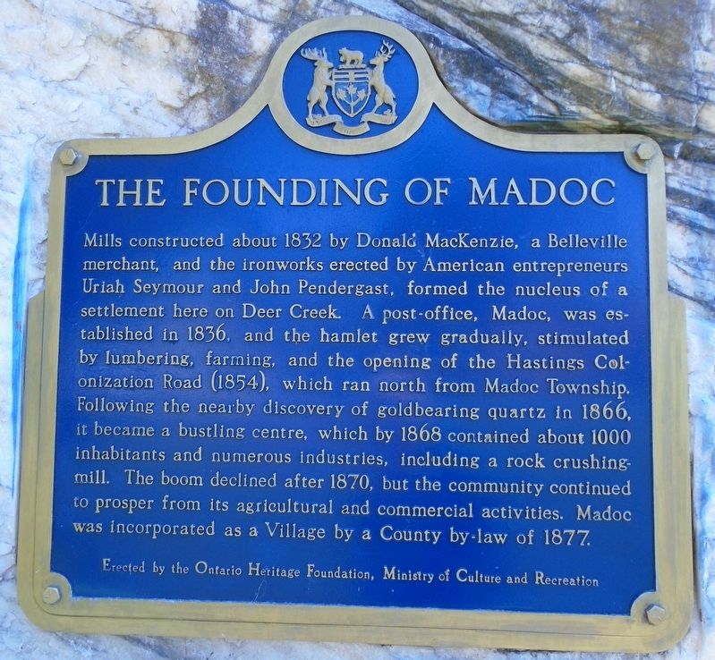
1. The Founding of Madoc Marker
Mills constructed about 1832 by Donald MacKenzie, a Belleville merchant, and the ironworks erected by American entrepreneurs Uriah Seymour and John Pendergast formed the nucleus of a settlement here on Deer Creek. A post-office, Madoc, was established in 1836 and the hamlet grew gradually, stimulated by lumbering, farming and the opening of the Hastings Colonization Road (1854), which ran north from Madoc Township. Following the nearby discovery of gold-bearing quartz in 1866, it became a bustling centre, which by 1868 contained about 1,000 inhabitants and numerous industries, including a rock crushing mill. The boom declined after 1870, but the community continued to prosper from its agricultural and commercial activities. Madoc was incorporated as a Village by a County by-law of 1877.
Erected by Ontario Heritage Foundation.
Topics and series. This historical marker is listed in these topic lists: Industry & Commerce • Settlements & Settlers. In addition, it is included in the Canada, Ontario Heritage Trust series list. A significant historical year for this entry is 1832.
Location. 44° 30.355′ N, 77° 28.126′ W.
this page online

Regionally, this marker is in Eastern Ontario and specifically in Southeastern Ontario. It is also in Central Canada. Globally, it is in North America, on the Great Lakes, in the Western Hemisphere, in the Western World, and in the Anglosphere. Historically, it finds itself in what was once a British colony, the Viceroyalty of New France, the Haudenosaunee (Iroquois) Confederacy, and Rupert’s Land.
Other nearby markers. At least 8 other markers are within 13 kilometers of this marker, measured as the crow flies: Thomas Thompson Memorial Park (here, next to this marker); War Memorial Cenotaph (a few steps from this marker); Battle of Vimy Ridge 100th Anniversary / 385th Army Cadet Corps

Photographed by William Fischer, Jr., May 12, 2025
2. The Founding of Madoc Marker

Photographed by William Fischer, Jr., May 12, 2025
3. The Founding of Madoc Marker
Credits. This page was last revised on May 25, 2025. It was originally submitted on May 25, 2025, by William Fischer, Jr. of Reynoldsburg, Ohio. This page has been viewed 249 times since then and 72 times this year. Photos: 1, 2, 3. submitted on May 25, 2025, by William Fischer, Jr. of Reynoldsburg, Ohio.
