Totnes in Devon, England, United Kingdom — Northwestern Europe (the British Isles)
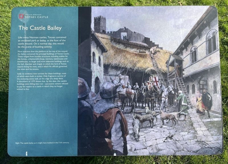
The Castle Bailey
Totnes Castle
Photographed by Ray Gurganus, April 6, 2025
1. The Castle Bailey Marker
More spacious than the platform at the top of the mound the bailey contained the principal buildings of Totnes Castle. These ranged from humble structures including stables for the horses, a blacksmith's forge, kitchens, bakehouses and brewhouses, to larger and more elaborate buildings such as the hall, chamber and chapel, in which the lord of Totnes stayed during his visits, and in which his officials governed the town and his estates.
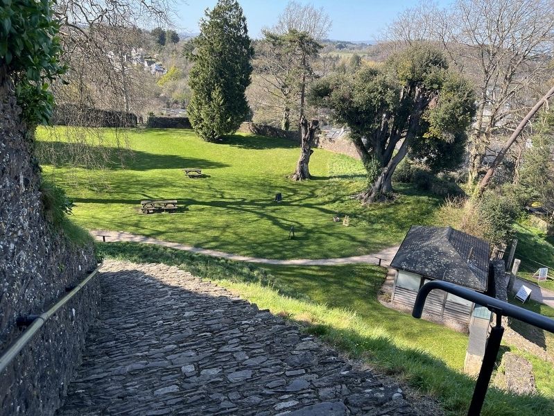
Sadly no evidence now survives for these buildings, most of which were built in timber. Only fragments survive of the enclosing stone wall, on the edge of a deep ditch. A document of 1273 shows that, by this date, the castle's buildings were falling into ruin -- successive owners refused to pay for repairs to a castle in which they no longer wished to live.
Erected by English Heritage.
Topics. This historical marker is listed in this topic list: Forts and Castles.
Location. 50° 25.951′ N,
this page online

Regionally, this marker is in South West England. Globally, it is on the Atlantic Ocean, in the North Atlantic Region, in Europe, in Atlantic Europe, on one of the British Isles, in the Western World, and in the Anglosphere. Historically, it finds itself in what was once the Roman Empire.
Other nearby markers. At least 8 other markers are within 10 kilometers of this marker, measured as the crow flies: The Shell Keep (within shouting distance of this marker); The Medieval Town of Totnes (within shouting distance of this marker); Welcome to The Market Square (about 180 meters away, measured in a direct line); Ann Ball (approx. 0.3 kilometers away); The Shady Garden (approx. 0.4 kilometers away); Totnes Town Mill (approx. 0.6 kilometers away); The Posts of the Town Marsh Gate (approx. 0.6 kilometers away); Paignton: Episcopal Manor, Town and Palace
Photographed by Ray Gurganus, April 6, 2025
2. The castle courtyard
Credits. This page was last revised on May 29, 2025. It was originally submitted on May 28, 2025, by Ray Gurganus of Washington, District of Columbia. This page has been viewed 90 times since then and 13 times this year. Photos: 1, 2. submitted on May 28, 2025, by Ray Gurganus of Washington, District of Columbia. • Andrew Ruppenstein was the editor who published this page.
