Sharbot Lake in Central Frontenac in Frontenac County, Ontario — Central Canada (North America)
Stock Pen
The Railway Heritage Walkway Tour Stop #3
Photographed by William Fischer, Jr., May 12, 2025
1. Stock Pen Marker
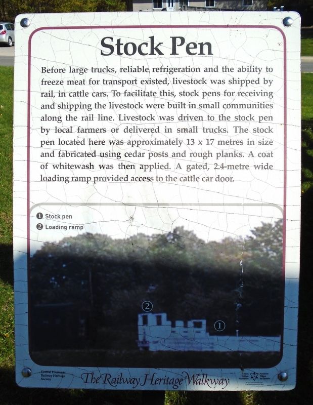
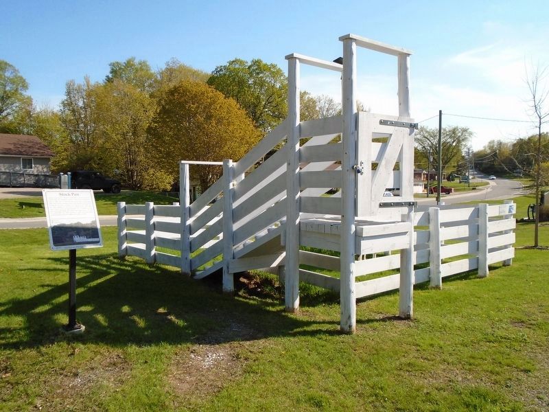
Before large trucks, reliable, refrigeration and the ability to freeze meat for transport existed, livestock was shipped by rail, in cattle cars. To facilitate this, stock pens for receiving and shipping the livestock were built in small communities along the rail line. Livestock was driven to the stock pen by local farmers or delivered in small trucks. The stock pen located here was approximately 13 x 17 metres in size and fabricated using cedar posts and rough planks. A coat of whitewash was then applied. A gated, 2.4-metre wide loading ramp provided access to the cattle car door.
[Photo caption reads]
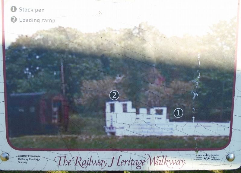
①Stock pen
②Loading ramp
Erected 2017 by Central Frontenac Railway Heritage Society and Ontario Trillium Foundation.
Topics and series. This historical marker is listed in these topic lists: Animals • Industry & Commerce • Railroads & Streetcars. In addition, it is included in the Canada, Sharbot Lake ON Railway Heritage Walkway series list.
Location. 44° 46.442′ N, 76° 41.292′ W. Marker is in Central Frontenac, Ontario, in Frontenac County.
this page online

Regionally, this marker is in Eastern Ontario and specifically in Southeastern Ontario. It is also in Central Canada. Globally, it is in North America, on the Great Lakes, in the Western Hemisphere, in the Western World, and in the Anglosphere. Historically, it finds itself in what was once a British colony, the Viceroyalty of New France, the Haudenosaunee (Iroquois) Confederacy, and Rupert’s Land.
Other nearby markers. At least 8 other markers are within walking distance of this marker: CPR Stock Pen (here, next to this marker); Welcome to the Central Frontenac Railway Heritage Society Railway Displays (a few steps from this marker); The Origins of the "Kick & Push" (within shouting distance of this marker); Some Stories From The Kingston & Pembroke Railway
Photographed by William Fischer, Jr., May 12, 2025
2. Stock Pen Marker Photo Detail
Also see . . . The Railway Heritage Walkway Tour. (Submitted on May 28, 2025, by William Fischer, Jr. of Reynoldsburg, Ohio.)
Photographed by William Fischer, Jr., May 12, 2025
3. Stock Pen and Marker
Credits. This page was last revised on May 28, 2025. It was originally submitted on May 28, 2025, by William Fischer, Jr. of Reynoldsburg, Ohio. This page has been viewed 103 times since then and 19 times this year. Photos: 1, 2, 3. submitted on May 28, 2025, by William Fischer, Jr. of Reynoldsburg, Ohio.
