Sharbot Lake in Central Frontenac in Frontenac County, Ontario — Central Canada (North America)
The Water Tower
The Railway Heritage Walkway Tour Stop #2

Photographed by William Fischer, Jr., May 12, 2025
1. The Water Tower Marker
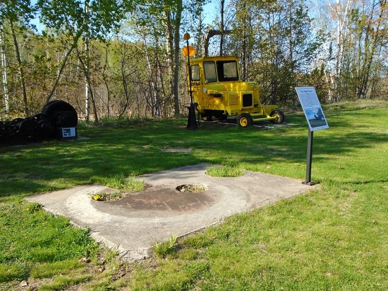
This is the former site of a 40,000 gallon water tower which was removed in 1964. The original wooden one (inset) was replaced with a more modern steel version. Lake water was pumped to the tower and flowed through underground piping to standpipes. These vertical columns had a rotating spout and control valve that dispensed water into each steam locomotive's tender. A total of three standpipes served the rail yard during the steam era, when as many as twelve trains passed through daily. The water level of the tower was indicated by a float mechanism which moved up and down a mast atop the tower.
[Photo Legend reads]
①Shed housing the section gang's motor cars
②The King's Highway 38 overpass
③Kingston and Pembroke Railway
④Standpipe
⑤Livestock pen
⑥Mast
Erected 2017 by Central Frontenac Railway Heritage Society and Ontario Trillium Foundation.
Topics and series. This historical marker is listed in this topic list: Railroads & Streetcars. In addition, it is included in the Canada, Sharbot Lake ON Railway Heritage Walkway series list. A significant historical year for this entry is 1964.
Location. 44° 46.454′ N,
this page online

Regionally, this marker is in Eastern Ontario and specifically in Southeastern Ontario. It is also in Central Canada. Globally, it is in North America, on the Great Lakes, in the Western Hemisphere, in the Western World, and in the Anglosphere. Historically, it finds itself in what was once a British colony, the Viceroyalty of New France, the Haudenosaunee (Iroquois) Confederacy, and Rupert’s Land.
Other nearby markers. At least 8 other markers are within walking distance of this marker: Trackmobile (a few steps from this marker); Turntable Motor (a few steps from this marker); Stock Pen (within shouting distance of this
Photographed by William Fischer, Jr., May 12, 2025
2. The Water Tower Base and Marker
Also see . . . Railway Heritage Walkway Tour. (Submitted on May 28, 2025, by William Fischer, Jr. of Reynoldsburg, Ohio.)
Credits. This page was last revised on May 28, 2025. It was originally submitted on May 28, 2025, by William Fischer, Jr. of Reynoldsburg, Ohio. This page has been viewed 118 times since then and 21 times this year. Photos: 1, 2. submitted on May 28, 2025, by William Fischer, Jr. of Reynoldsburg, Ohio.
