Mackinaw City in Emmet County, Michigan — The American Midwest (Great Lakes)
Revolutionary Times
| — | Colonial Michilimackinac | — |
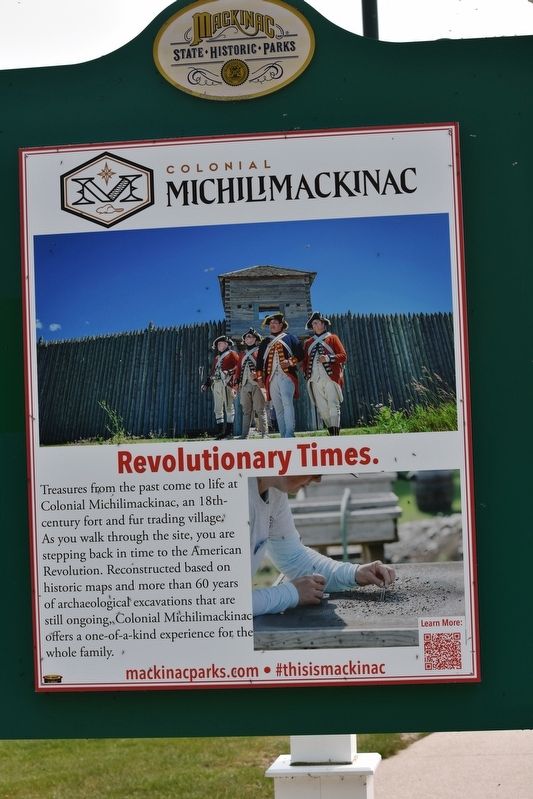
Photographed by Sandra Hughes Tidwell, May 18, 2023
1. Colonial Michilimackinac Marker
Topics. This historical marker is listed in this topic list: Settlements & Settlers.
Location. 45° 47.264′ N, 84° 43.951′ W. Marker is in Mackinaw City, Michigan, in Emmet County. It is on North Huron Avenue. Marker is near the Visitor Center. Touch for map. Marker is at or near this postal address: 526 N Huron Avenue, Mackinaw City MI 49701, United States of America. Touch for directions.

Regionally, this marker is in Northern Michigan Lower Peninsula, on the Straits of Mackinac, and in one of the Lake Michigan Shore counties. It is also in the American Midwest. Globally, it is in North America, in the Great North Woods, on the Great Lakes, in the Western Hemisphere, in the Western World, and in the Anglosphere. Historically, it finds itself in what was once the Viceroyalty of New France and also the Northwest Territory.
Other nearby markers. At least 8 other markers are within walking distance of this marker: Michigan's First Jewish Settler (here, next to this marker); Mackinac State Historic Parks (within shouting distance of this marker); Mackinac Bridge (within shouting distance of this marker); Crossroads of the Fur Trade (within shouting distance of this marker); Flags of Michilimackinac (within shouting distance of this marker); Fort Michilimackinac (within shouting distance of this marker); Michilimackinac State Park (within shouting distance of
this page online
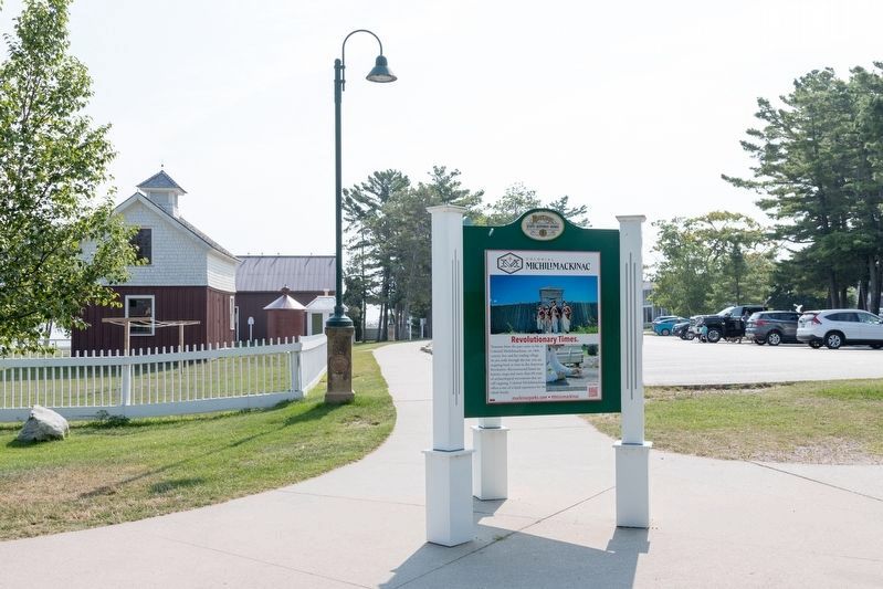
Photographed by J. J. Prats, August 2, 2024
2. Revolutionary Times Marker
Credits. This page was last revised on June 2, 2025. It was originally submitted on July 17, 2023, by Sandra Hughes Tidwell of Killen, Alabama, USA. This page has been viewed 224 times since then and 15 times this year. Last updated on May 28, 2025, by Craig Doda of Napoleon, Ohio. Photos: 1. submitted on July 17, 2023, by Sandra Hughes Tidwell of Killen, Alabama, USA. 2. submitted on August 26, 2024, by J. J. Prats of Powell, Ohio. • Devry Becker Jones was the editor who published this page.
