Sharbot Lake in Central Frontenac in Frontenac County, Ontario — Central Canada (North America)
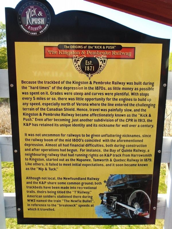
The Origins of the "Kick & Push"
The Kingston & Pembroke Railway
| — | Est. 1871 | — |
Photographed by William Fischer, Jr., May 12, 2025
1. The Origins of the "Kick & Push" Marker
Because the trackbed of the Kingston & Pembroke Railway was built during the "hard times" of the depression in the 1870s, as little money as possible was spent on it. Grades were steep and curves were plentiful. With stops every 5 miles or so, there was little opportunity for the engines to build up any speed, especially north of Verona where the line entered the challenging terrain of the Canadian Shield. Hence, travel was painfully slow, and the Kingston & Pembroke Railway became affectionately known as the "Kick & Push." Even after becoming just another subdivision of the CPR in 1913, the K&P has retained its unique identity and its nickname for well over a century.
It was not uncommon for railways to be given unflattering nicknames, since the railway boom of the mid 1800's coincided with the aforementioned depression. Almost all had financial difficulties, both during construction and after operations had begun. For instance, the Bay of Quinte Railway, a neighbouring railway that had running rights on K&P track from Harrowsmith to Kingston, started out as the Napanee, Tamworth & Quebec Railway in 1879. Like others,
this page online
Although not local, the Newfoundland Railway and the K&P share some common ground: both trackbeds have been made into recreational trails, theirs being titled the "T'Railway." American soldiers stationed there during WW2 named the train "The Newfie Bullet", in reference to the "breakneck" speeds at which it travelled.
Erected by Central Frontenac Railway Heritage Society.
Topics. This historical marker is listed in this topic list: Railroads & Streetcars. A significant historical year for this entry is 1871.
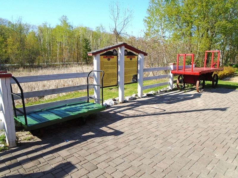
Location. 44° 46.447′ N, 76° 41.308′ W. Marker is in Central Frontenac, Ontario, in Frontenac County. It is in Sharbot Lake. It is on Elizabeth Street just north of Robert Street, on the left when traveling north. Marker is in the Railway Heritage Park, adjacent to the former Canadian Pacific Railway grade, now part of the Trans Canada Trail. Touch for map. Marker is at or near this postal address: 1110 Elizabeth Street, Central Frontenac ON K0H 2P0, Canada. Touch for directions.

Regionally, this marker is in Eastern Ontario and specifically
Photographed by William Fischer, Jr., May 12, 2025
2. The Origins of the "Kick & Push" Marker
Other nearby markers. At least 8 other markers are within walking distance of this marker: Some Stories From The Kingston & Pembroke Railway (here, next to this marker); Railway Connections To and From Sharbot Lake (here, next to this marker); The Railway in Sharbot Lake (here, next to this marker); Welcome to the Central Frontenac Railway Heritage Society Railway Displays (a few steps from this marker); Shop Crate (a few steps from this marker); Caboose (a few steps from this marker); CPR Stock Pen (a few steps from this marker); Stock Pen (within shouting distance of this marker). Touch for a list and map of all markers in Central Frontenac.
Also see . . . Railway Heritage Park, Sharbot Lake ON. (Submitted on May 28, 2025, by William Fischer, Jr. of Reynoldsburg, Ohio.)
Credits. This page was last revised on May 28, 2025. It was originally submitted on May 28, 2025, by William Fischer, Jr. of Reynoldsburg, Ohio. This page has been viewed 134 times since then and 43 times this year. Photos: 1, 2. submitted on May 28, 2025, by William Fischer, Jr. of Reynoldsburg, Ohio.
