Central City in Salt Lake City in Salt Lake County, Utah — The American Mountains (Southwest)
Trolley Square
Utah Historic Site
| — | National Register of Historic Places | — |

Photographed by Jeremy Snow, May 19, 2025
1. Trolley Square Marker
Site of LDS Tenth Ward square until 1888 when it was purchased and used as a territorial fairgrounds through 1901. Car barns and repair shops built 1908-1910 under the direction of E.H Harriman for Utah Light and Railway Company. Barns housed Salt Lake City buses until 1970. Renovation 1972.
Erected by Division of State History. (Marker Number S-29.)
Topics and series. This historical marker is listed in these topic lists: Industry & Commerce • Railroads & Streetcars. In addition, it is included in the Utah Historic Sites (NRHP) series list. A significant historical year for this entry is 1908.
Location. 40° 45.424′ N, 111° 52.296′ W. Marker is in Salt Lake City, Utah, in Salt Lake County. It is in Central City. It is on South 700 East, on the right when traveling south. Touch for map. Marker is at or near this postal address: 552 S 700 E, Salt Lake City UT 84102, United States of America. Touch for directions.

Regionally, this marker is in the Wasatch Front and in Greater Salt Lake. It is also in the American Mountain West and on the Colorado Plateau. Globally, it is in North America, the Rocky Mountains,
this page online
Other nearby markers. At least 8 other markers are within walking distance of this marker: Utah Light and Railway Co. Car Barns (Trolley Square) (here, next to this marker); a different marker also named Utah Light and Railway Co. Car Barns (Trolley Square) (about 300 feet away, measured in a direct line); a different marker also named Trolley Square (about 300 feet away); L.D.S. Tenth Ward Square (approx. 0.3 miles away); Richmond Park (approx. 0.4 miles away); The Cedar Tree Shrine (approx. 0.4 miles away); Liberty Park (approx. half a mile away); First Church of Christ, Scientist, Salt Lake City (approx. 0.6 miles away). Touch for a list and map of all markers in Salt Lake City.
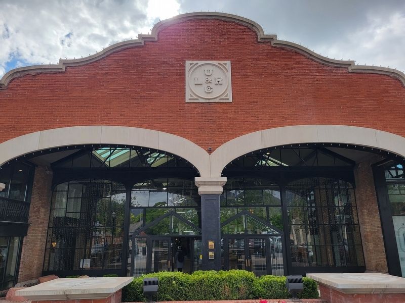
Photographed by Jeremy Snow, May 19, 2025
2. Trolley Square Marker
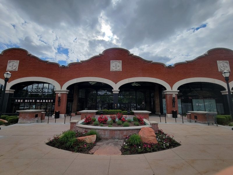
Photographed by Jeremy Snow, May 19, 2025
3. Utah Light and Railway Building
Credits. This page was last revised on May 29, 2025. It was originally submitted on May 28, 2025, by Jeremy Snow of Cedar City, Utah. This page has been viewed 126 times since then and 17 times this year. Photos: 1, 2, 3. submitted on May 28, 2025, by Jeremy Snow of Cedar City, Utah. • Andrew Ruppenstein was the editor who published this page.
