Sharbot Lake in Central Frontenac in Frontenac County, Ontario — Central Canada (North America)
Benton's Cut
The Railway Heritage Walkway Tour Stop #10
Photographed by William Fischer, Jr., May 12, 2025
1. Benton's Cut Marker
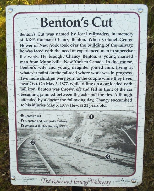
Benton's Cut was named by local railroaders in memory of K&P foreman Chancy Benton. When Colonel George Flower of New York took over the building of the railway, he was faced with the need of experienced men to supervise the work. He brought Chancy Benton, a young married man from Munnsville, New York to Canada. In due course, Benton's wife and young daughter joined him, living at whatever point on the railroad where work was in progress. Two more children were born to the couple while they lived near Oso. On May 3, 1877, while riding on a car loaded with rail iron, Benton was thrown off and fell in front of the car becoming jammed between the axle and the ties. Although attended by a doctor the following day, Chancy succumbed to his injuries May 5, 1877. He was 31 years old.
[Photo Legend reads]
①Benton's Cut
②Kingston and Pembroke Railway
③Ontario & Quebec Railway (CPR)
Erected 2017 by Central Frontenac Railway Heritage Society and Ontario Trillium Foundation.
Topics and series. This historical marker is listed in these topic lists: Disasters • Railroads & Streetcars. In addition,
this page online
Location. 44° 46.053′ N, 76° 41.425′ W. Marker is in Central Frontenac, Ontario, in Frontenac County. It is in Sharbot Lake. It is on K&P Trail, on the right when traveling south. Marker is on the former railroad grade, between the health center and the public boat launch. Touch for map. Marker is at or near this postal address: 1005 Medical Center Road, Central Frontenac ON K0H 2P0, Canada. Touch for directions.

Regionally, this marker is in Eastern Ontario and specifically in Southeastern Ontario. It is also in Central Canada. Globally, it is in North America, on the Great Lakes, in the Western Hemisphere, in the Western World, and in the Anglosphere. Historically, it finds itself in what was once a British colony, the Viceroyalty of New France, the Haudenosaunee (Iroquois) Confederacy, and Rupert’s Land.
Other nearby markers. At least 8 other markers are within walking distance of this marker: Simon Whitfield (about 90 meters away, measured in a direct line); The Causeway (about 90
Photographed by William Fischer, Jr., May 12, 2025
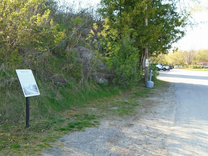
2. Benton's Cut and Marker
Regarding Benton's Cut. Benton and his wife Hannah are interred in Stockbridge Cemetery, Munnsville, Madison Co NY.
Also see . . . Railway Heritage Walkway Tour. (Submitted on May 29, 2025, by William Fischer, Jr. of Reynoldsburg, Ohio.)
Credits. This page was last revised on May 29, 2025. It was originally submitted on May 29, 2025, by William Fischer, Jr. of Reynoldsburg, Ohio. This page has been viewed 71 times since then and 14 times this year. Photos: 1, 2. submitted on May 29, 2025, by William Fischer, Jr. of Reynoldsburg, Ohio.
