Dailey Township near Onamia in Mille Lacs County, Minnesota — The American Midwest (Upper Plains)
Rum River Rest Area
Photographed by McGhiever, May 29, 2025
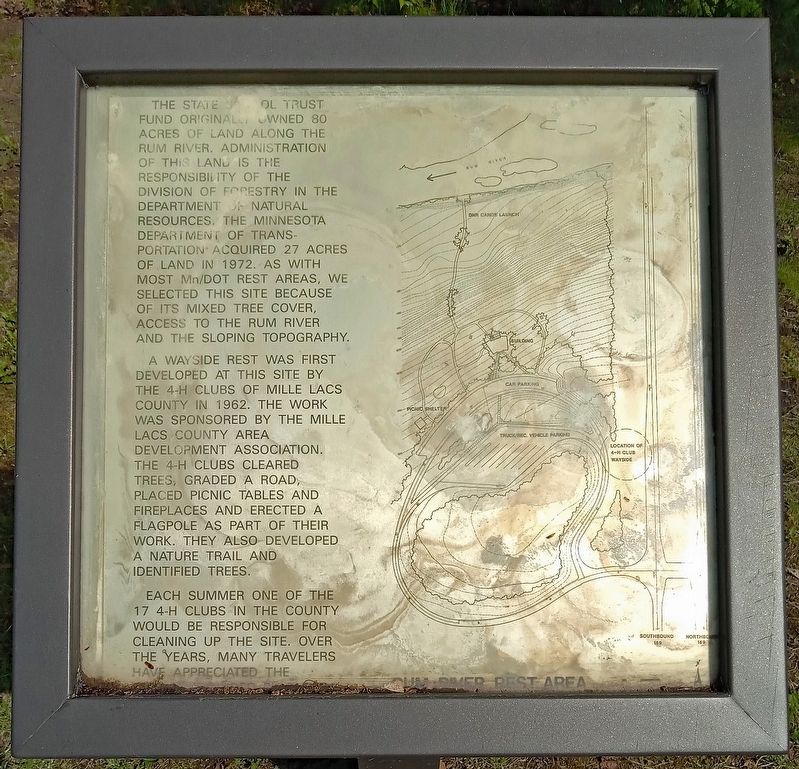
1. Rum River Rest Area Marker
The state school trust fund originally owned 80 acres of land along the Rum River. Administration of this land is the responsibility of the Division of Forestry in the Department of Natural Resources. The Minnesota Department of Transportation acquired 27 acres of land in 1972. As with most Mn/DOT rest areas, we selected this site because of its mixed tree cover, access to the Rum River and the sloping topography.
A wayside rest was first developed at this site by the 4-H clubs of Mille Lacs County in 1962. The work was sponsored by the Mille Lacs County Area Development Association. The 4-H clubs cleared trees, graded a road, placed picnic tables and fireplaces and erected a flagpole as part of their work. They also developed a nature trail and identified trees.
Each summer one of the 17 4-H clubs in the county would be responsible for cleaning up the site. Over the years, many travelers have appreciated the
Erected by Minnesota Department of Transportation.
Topics. This historical marker is listed in these topic lists: Charity & Public Work • Government & Politics. A significant historical year for this entry is 1962.
Location. 45° 55.477′ N,
this page online

Regionally, this marker is in Central Minnesota. It is also in the American Midwest and in the Corn Belt. Globally, it is in North America, the Western Hemisphere, the Western World, and the Anglosphere. Historically, it finds itself in what was once Rupert’s Land, the territory of the Mississippian Culture, and the Northwest Territory.
Other nearby markers. At least one other marker is within walking distance of this marker: The Rum River (here, next to this marker).
More about this marker. The rest area can be accessed from either direction of travel on U.S. 169.
Photographed by McGhiever, May 29, 2025
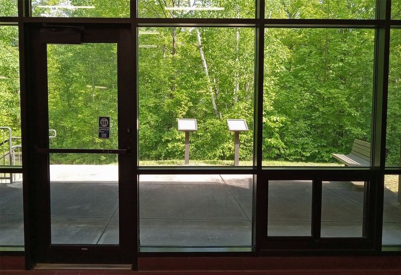
2. Rum River Rest Area Marker (right) on the back porch of the restroom building
Credits. This page was last revised on May 30, 2025. It was originally submitted on May 30, 2025, by McGhiever of Minneapolis, Minnesota. This page has been viewed 110 times since then and 5 times this year. Photos: 1, 2. submitted on May 30, 2025, by McGhiever of Minneapolis, Minnesota.
