Riverside in Oklahoma City in Oklahoma County, Oklahoma — The American South (West South Central)
Union Station
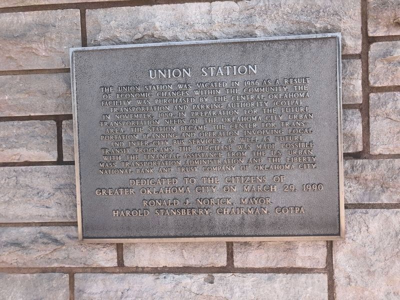
Photographed by Duane and Tracy Marsteller, April 10, 2025
1. Union Station Marker
greater Oklahoma City on March 29, 1990
Ronald J. Norick, Mayor
Harold Stansberry, Chairman, COTPA
Erected 1990.
Topics and series. This historical marker is listed in these topic lists: Architecture • Railroads & Streetcars. In addition, it is included in the National Register of Historic Places (NRHP) series list. A significant historical month for this entry is November 1989.
Location. 35° 27.464′ N, 97° 31.12′ W. Marker is in Oklahoma City, Oklahoma, in Oklahoma County. It
this page online

Regionally, this marker is in Central Oklahoma—Frontier Country. It is also in the American South, specifically on the prairies, and on the Southern Plains. Globally, it is in North America, the Western Hemisphere, the Western World, and the Anglosphere. Historically, it finds itself in what was once the territory of the Mississippian Culture and also the Louisiana Purchase.
Other nearby markers. At least 8 other markers are within walking distance of this marker: A different marker also named Union Station (here, next to this marker); Survivor Tree (within shouting distance of this marker); C.G. "Gristmill" Jones (about 400 feet away, measured in a direct line); The Canal (about 500 feet away); South Oklahoma (approx. half a mile away); Visit of the Congressmen (approx. 0.6 miles away); Hell's Half Acre (approx. 0.6 miles away); T.M. Richardson and the Oklahoma Bank (approx.
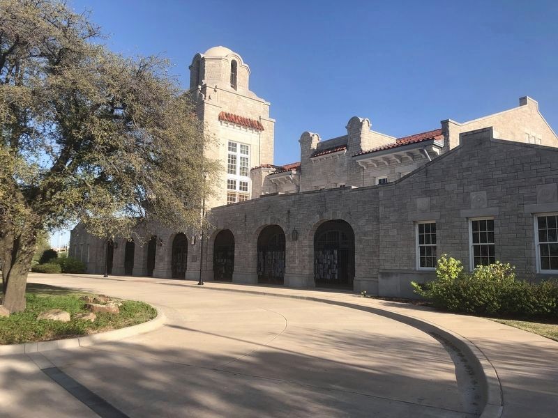
Photographed by Duane and Tracy Marsteller, April 10, 2025
2. Union Station Marker
The featured marker is in the left side of the arch below the tower.
Also see . . . Union Depot (PDF). National Register nomination for the building, which was listed in 1979. (Prepared by Kent Ruth, Oklahoma Historical Society; via State Historic Preservation Office of Oklahoma) (Submitted on May 30, 2025, by Duane and Tracy Marsteller of Murfreesboro, Tennessee.)
Credits. This page was last revised on May 30, 2025. It was originally submitted on May 30, 2025, by Duane and Tracy Marsteller of Murfreesboro, Tennessee. This page has been viewed 140 times since then and 20 times this year. Photos: 1, 2. submitted on May 30, 2025, by Duane and Tracy Marsteller of Murfreesboro, Tennessee.
