Nashville in Howard County, Arkansas — The American South (West South Central)
Isaac C. Perkins
(1787-1851)

Photographed by Cajun Scrambler, May 29, 2025
1. Isaac C. Perkins Marker
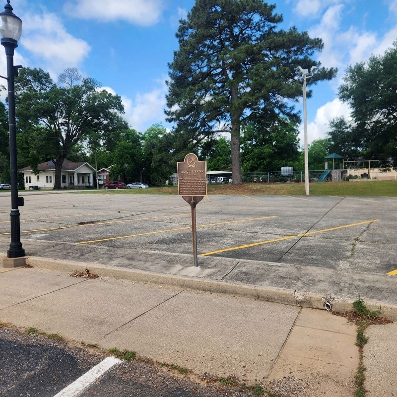
Isaac C. Perkins was the founder of the city of Nashville and the Mine Creek Baptist Church which later became the First Baptist Church of Nashville. He was the first president of the Arkansas Baptist Convention (1848). He spent most of his time organizing churches and furthering the Baptist cause in south Arkansas. He and his family are buried in the Nashville Cemetery on the Isaac Perkins Bypass.
Topics. This historical marker is listed in these topic lists: Religion & Religious Structures • Settlements & Settlers.
Location. 33° 56.814′ N, 93° 50.835′ W. Marker is in Nashville, Arkansas, in Howard County. It is on North Main Street near College Street. Touch for map. Marker is at or near this postal address: 421 N Main St, Nashville AR 71852, United States of America. Touch for directions.

Regionally, this marker is in Arkansas’ Ouachita Mountains and in Caddo Territory. It is also in the American South, specifically in the Upper South, and in the Piney Woods. Globally, it is in North America, the Western Hemisphere, the Western World,
this page online
Other nearby markers. At least 8 other markers are within 12 miles of this marker, measured as the crow flies: Howard County, Arkansas (about 300 feet away, measured in a direct line); Center Point (approx. 8 miles away); Howard County in the Civil War (approx. 8 miles away); Star of Shreveport (approx. 11½ miles away); First Diamonds (approx. 11½ miles away); Esperanza Diamond (approx. 11½ miles away); Schall Diamond (approx. 11.6 miles away); Okie Dokie (approx. 11.6 miles away).
Photographed by Cajun Scrambler, May 29, 2025
2. Isaac C. Perkins Marker
Credits. This page was last revised on May 31, 2025. It was originally submitted on May 31, 2025, by Cajun Scrambler of Assumption, Louisiana. This page has been viewed 306 times since then and 114 times this year. Photos: 1, 2. submitted on May 31, 2025, by Cajun Scrambler of Assumption, Louisiana.
