North Salt Lake in Davis County, Utah — The American Mountains (Southwest)
District School of South Bountiful

Photographed by Jeremy Snow, May 19, 2025
1. District School of South Bountiful Marker
In the early 1880's a one-room school was built on this site: a triangle of land between Onion Street and Highway 91. It was constructed of lime-cement and rock and measured 16 feet by 25 feet. There were six windows three on the north side and three on the south side. The entrance faced west. A coal house was attached to the building. A potbellied stove stood in the center of the room with a long stovepipe reaching to the chimney on the east. There were three rows of desks on each side of the stove.
Students furnished their own books and slates. Children who could not attend regularly, due to the farm work, had to bring their own desks. Each night a bucket of fresh water was carried from the Burtenshaw Well across the road for the children to drink the next day. A bucket with a clean dipper was placed on a table for their use.
This school was used until 1898, when it was torn down and a red brick, two-room school was built on the property.
About 1920, this location was renamed Cleverly Crossing by the Bamberger Railway Company and was a designated stop. Here a shelter was built for waiting passengers. In 1935
this page online
Erected 1993 by Daughters of Utah Pioneers. (Marker Number 469.)
Topics and series. This historical marker is listed in this topic list: Education. In addition, it is included in the Daughters of Utah Pioneers series list. A significant historical year for this entry is 1898.
Location. 40° 51.36′ N, 111° 54.061′ W. Marker is in North Salt Lake, Utah, in Davis County. It is on South Main Street, on the right when traveling south. The marker is in Mathis Park. Touch for map. Marker is at or near this postal address: 755 S Main Street, North Salt Lake UT 84054, United States of America. Touch for directions.

Regionally, this marker is in the Wasatch Front and in Greater Salt Lake. It is also in the American Mountain West and on the Colorado Plateau. Globally, it is in North America, the Rocky Mountains, the Western Hemisphere, the Western World, and the Anglosphere. Historically, it finds itself in what was once New Spain
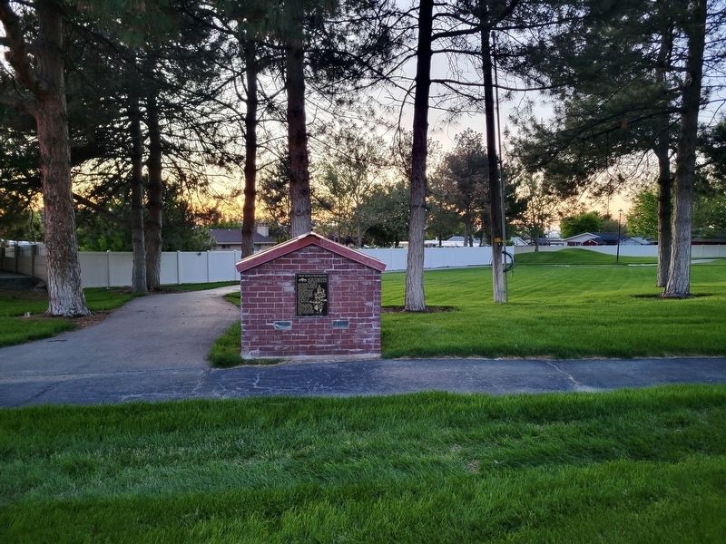
Photographed by Jeremy Snow, May 19, 2025
2. District School of South Bountiful Marker
Other nearby markers. At least 8 other markers are within 3 miles of this marker, measured as the crow flies: Hogan Pioneer Cabin (approx. 1.3 miles away); Pioneer Cemetery (approx. 1.3 miles away); Brick Making (approx. 1.7 miles away); Daniel Wood (approx. 2.1 miles away); Daniel Wood Cemetery (approx. 2.1 miles away); Bliss Hall (approx. 2.2 miles away); Heber C. Kimball Grist Mill (approx. 2.2 miles away); Original Gristmill Stones (approx. 2.2 miles away).
Credits. This page was last revised on June 1, 2025. It was originally submitted on May 31, 2025, by Jeremy Snow of Cedar City, Utah. This page has been viewed 101 times since then and 14 times this year. Photos: 1, 2. submitted on May 31, 2025, by Jeremy Snow of Cedar City, Utah. • Andrew Ruppenstein was the editor who published this page.
